


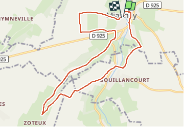

13,9 km | 16,4 km-effort


Gebruiker


Gratisgps-wandelapplicatie
 SityTrail
IGN / Geografische instituten
SityTrail World
De wereld gaat voor u open
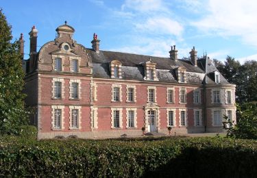
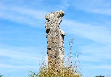
Tocht Noords wandelen van 9,7 km beschikbaar op Hauts-de-France, Somme, Miannay. Deze tocht wordt voorgesteld door roselinemazeyrat.
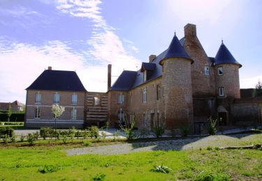
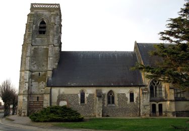
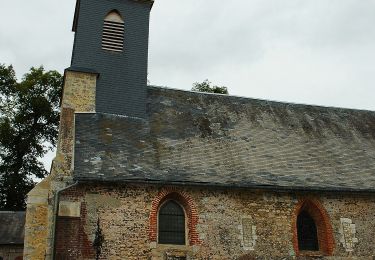
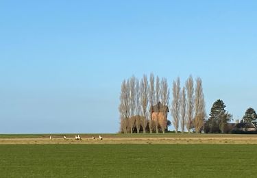
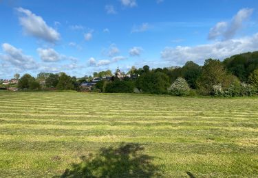
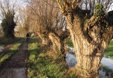
Le parcours traverse un joli village, des champs, des bois et offre un paysage vallonné par des chemins de terre. Le bas du parcours, vers les zoteux est toujours très humide.
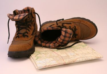
Stappen
Stappen
Te voet
Te voet
Noords wandelen
Noords wandelen
Stappen
Stappen
Stappen