


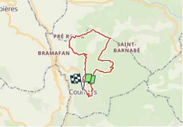

7,2 km | 11,2 km-effort

Gebruiker


Gratisgps-wandelapplicatie
 SityTrail
IGN / Geografische instituten
SityTrail World
De wereld gaat voor u open
Tocht Stappen van 14,9 km beschikbaar op Provence-Alpes-Côte d'Azur, Alpes-Maritimes, Courmes. Deze tocht wordt voorgesteld door GrouGary.
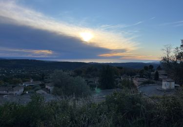
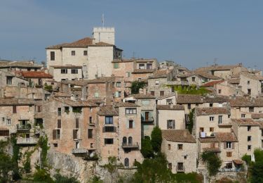
boucle facile.
Nombreuses pistes praticables en VTT aussi.
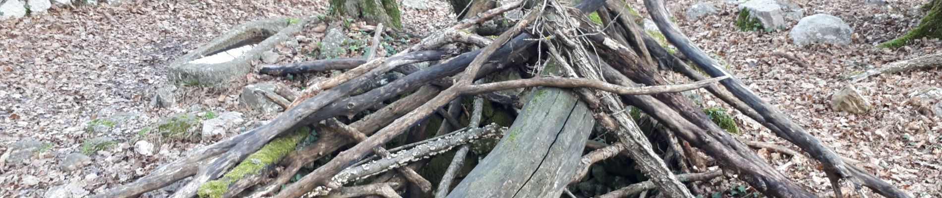
Trouver le "village negre" n'est pas facile au 1er coup d'oeil.


Stappen

Stappen
Stappen

Stappen

Stappen

Stappen
Te voet

Te voet

Te voet