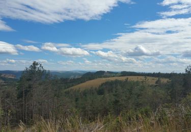
23 km | 30 km-effort
les Éoliennes de Chauvet
tyntyn
Gebruiker
Lengte
11,2 km
Max. hoogte
1257 m
Positief hoogteverschil
286 m
Km-Effort
15,1 km
Min. hoogte
1112 m
Negatief hoogteverschil
288 m
Boucle
Ja
Datum van aanmaak :
2023-01-07 12:39:10.838
Laatste wijziging :
2023-01-07 15:26:29.753
2h46
Moeilijkheid : Gemakkelijk
Gratisgps-wandelapplicatie
Over ons
Tocht Stappen van 11,2 km beschikbaar op Occitanië, Lozère, Monts-de-Randon. Deze tocht wordt voorgesteld door tyntyn.
Plaatsbepaling
Land:
France
Regio :
Occitanië
Departement/Provincie :
Lozère
Gemeente :
Monts-de-Randon
Locatie:
Servières
Vertrek:(Dec)
Vertrek:(UTM)
534776 ; 4936270 (31T) N.
Opmerkingen
Wandeltochten in de omgeving
VTT
Mountainbike
Heel gemakkelijk
Chastel-Nouvel,
Occitanië,
Lozère,
France
31 km | 39 km-effort
2h 31min
Ja
La cascade de la Fagette - Chastel Nouvel
Stappen
Moeilijk
(2)
Chastel-Nouvel,
Occitanië,
Lozère,
France
12,7 km | 18,4 km-effort
3h 0min
Ja
Bahours /Chauvet
Stappen
Medium
Mende,
Occitanië,
Lozère,
France
11,9 km | 16,6 km-effort
3h 18min
Ja
La Fagette Pahlere
Elektrische fiets
Medium
Chastel-Nouvel,
Occitanië,
Lozère,
France
72 km | 91 km-effort
Onbekend
Neen
tour de la colombéche 22kms
Mountainbike
Heel gemakkelijk
Chastel-Nouvel,
Occitanië,
Lozère,
France
22 km | 28 km-effort
2h 52min
Ja
la fount d'el peyre
Stappen
Gemakkelijk
Chastel-Nouvel,
Occitanië,
Lozère,
France
7,9 km | 11,4 km-effort
1h 59min
Ja
Charpal
Mountainbike
Heel gemakkelijk
Chastel-Nouvel,
Occitanië,
Lozère,
France
29 km | 37 km-effort
3h 30min
Ja