

2023 / balade depuis le gite la sariette

Celine1217
Gebruiker

Lengte
8,5 km

Max. hoogte
164 m

Positief hoogteverschil
119 m

Km-Effort
10 km

Min. hoogte
60 m

Negatief hoogteverschil
113 m
Boucle
Neen
Datum van aanmaak :
2023-01-03 14:25:19.785
Laatste wijziging :
2023-01-14 06:48:42.082
1h53
Moeilijkheid : Gemakkelijk

Gratisgps-wandelapplicatie
Over ons
Tocht Paardrijden van 8,5 km beschikbaar op Provence-Alpes-Côte d'Azur, Bouches-du-Rhône, Eygalières. Deze tocht wordt voorgesteld door Celine1217.
Beschrijving
Balade du premier jour depuis le gîte. Pas mal de route.
Gîte très sympa et bien organisé pour les chevaux et les humains.
Plaatsbepaling
Land:
France
Regio :
Provence-Alpes-Côte d'Azur
Departement/Provincie :
Bouches-du-Rhône
Gemeente :
Eygalières
Locatie:
Unknown
Vertrek:(Dec)
Vertrek:(UTM)
656685 ; 4849420 (31T) N.
Opmerkingen
Wandeltochten in de omgeving
PF-Orgon - La Plaine des Alpilles


Stappen
Medium
(1)
Orgon,
Provence-Alpes-Côte d'Azur,
Bouches-du-Rhône,
France

16,3 km | 21 km-effort
5h 13min
Ja
PF-Eygalières - Chemin du Mas de Pascal


Stappen
Gemakkelijk
Eygalières,
Provence-Alpes-Côte d'Azur,
Bouches-du-Rhône,
France

8,9 km | 11,5 km-effort
2h 37min
Ja

Eygalières, Petit Calan


Stappen
Gemakkelijk
(1)
Eygalières,
Provence-Alpes-Côte d'Azur,
Bouches-du-Rhône,
France

8,2 km | 10,4 km-effort
2h 15min
Ja
Eygalieres Tour de la Baume Brignolle


Stappen
Gemakkelijk
Eygalières,
Provence-Alpes-Côte d'Azur,
Bouches-du-Rhône,
France

13,6 km | 17,7 km-effort
4h 3min
Ja
Les Alpilles au dessus d'Eygalieres


Stappen
Medium
Eygalières,
Provence-Alpes-Côte d'Azur,
Bouches-du-Rhône,
France

21 km | 28 km-effort
5h 28min
Ja
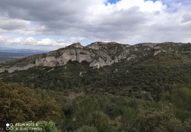
Alpilles


Stappen
Moeilijk
Saint-Rémy-de-Provence,
Provence-Alpes-Côte d'Azur,
Bouches-du-Rhône,
France

13 km | 18,8 km-effort
3h 56min
Ja
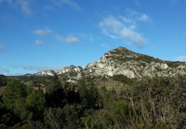
Eygalières et les Calans


Stappen
Medium
Eygalières,
Provence-Alpes-Côte d'Azur,
Bouches-du-Rhône,
France

19,7 km | 26 km-effort
5h 3min
Ja
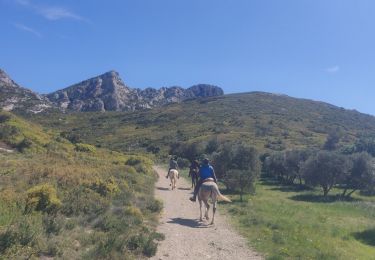
SityTrail - 2019-04-29 Rando CVA Alpilles Eygalieres Mouries


Paardrijden
Medium
Eygalières,
Provence-Alpes-Côte d'Azur,
Bouches-du-Rhône,
France

24 km | 30 km-effort
3h 51min
Neen

Les Alpilles de provence


Paard
Medium
(1)
Orgon,
Provence-Alpes-Côte d'Azur,
Bouches-du-Rhône,
France

18,8 km | 22 km-effort
2h 51min
Ja


 SityTrail


