


52 km | 63 km-effort


Gebruiker


Gratisgps-wandelapplicatie
 SityTrail
IGN / Geografische instituten
SityTrail World
De wereld gaat voor u open
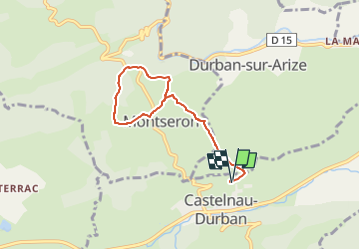
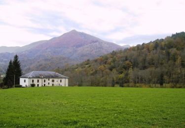
Tocht Stappen van 6,7 km beschikbaar op Occitanië, Ariège, Castelnau-Durban. Deze tocht wordt voorgesteld door Jean-Paul Raton.
départ de Castelnau Durban ,nous montons vers Monseron en passant par la ferme de Lazon; on fait le tour de Monseron avec une jolie vue sur le chateau st Barthelemi, de Durban puis retour par le même chemin. 6kms700 et 270 mètres de dénivelé.
Elektrische fiets
Mountainbike
Paard
Paard
Paard
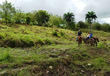
Paard

Stappen
Stappen
Stappen