


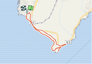


3,9 km | 4,4 km-effort


Gebruiker GUIDE


Gratisgps-wandelapplicatie
 SityTrail
IGN / Geografische instituten
SityTrail World
De wereld gaat voor u open
Tocht Stappen van 5,7 km beschikbaar op Martinique, Onbekend, Rivière-Pilote. Deze tocht wordt voorgesteld door GabyG.
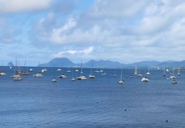
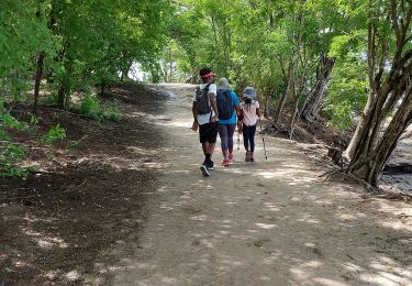
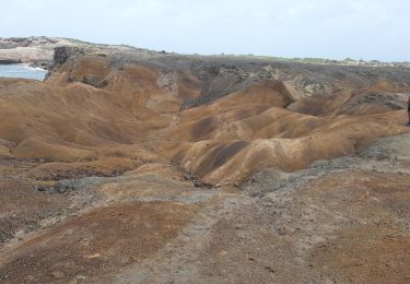
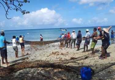
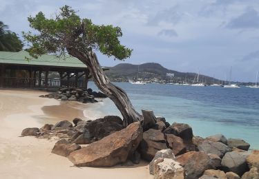
grande aventure plein Sud et escapade dans les massifs du morne aca. en boucle de Anse figuier, pointe Borgnèse, petite poterie cotes rocheuses et plages.


Stappen
Stappen
Stappen
Stappen
Stappen
Stappen
Stappen
Stappen
Stappen