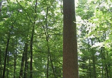
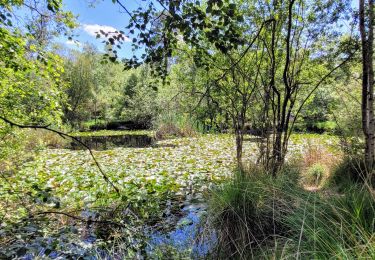
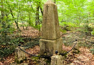
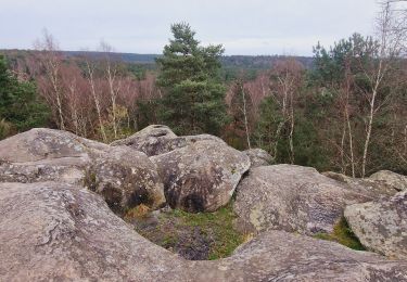
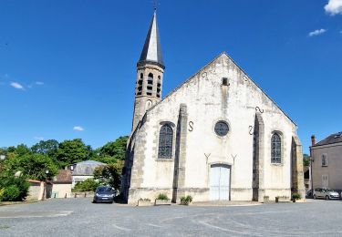
Tocht  Fontainebleau - 2022-12-01_20h43m29_fm4-17-fontainebleau-table-du-roi-16-km-par-christine-l - Photo

2022-12-01_20h43m29_fm4-17-fontainebleau-table-du-roi-16-km-par-christine-l

 taran
taran

Gebruiker

© OpenStreetMap contributors
Lengte
Lengte
16,3 km
Max. hoogte
Max. hoogte
118 m
Positief hoogteverschil
137 m
Km-Effort
Km-Effort  
18,1 km
Min. hoogte
Min. hoogte
74 m
Negatief hoogteverschil
134 m
Boucle
Boucle
Ja
Datum van aanmaak :
2022-12-01 19:43:31.063
Laatste wijziging :
2022-12-01 19:43:33.643

(0 Bericht)


Scan deze QR-code om de tocht te openen in de SityTrail-applicatie

Gratisgps-wandelapplicatie

Logo SityTrail SityTrail

IGN / Geografische instituten

SityTrail uit de App Store downloaden SityTrail uit Google Play downloaden

Logo SityTrail SityTrail World

De wereld gaat voor u open

SityTrail uit de App Store downloaden SityTrail uit Google Play downloaden SityTrail op Huawei AppGallery downloaden

Over ons

Tocht van 16,3 km beschikbaar op Île-de-France, Seine-et-Marne, Fontainebleau. Deze tocht wordt voorgesteld door taran.

Beschrijving

[img]https://4.bp.blogspot.com/-CBUmrUw11Uo/Wtr_c5QVTSI/AAAAAAAAPL4/18f8zkojvuQ3yH17tt2Md3CAeGiWpXpOQCLcBGAs/s1600/RONG-ConvertImage.icoo[/img]   [b]Rando Club Yerrois[/b]


[img]https://4.bp.blogspot.com/-CBUmrUw11Uo/Wtr_c5QVTSI/AAAAAAAAPL4/18f8zkojvuQ3yH17tt2Md3CAeGiWpXpOQCLcBGAs/s1600/RONG-ConvertImage.icoo[/img]   [b]Rando Club Yerrois[/b]

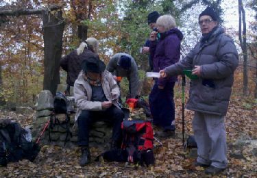
[b]Date[/b] :  Dimanche 26 novembre 2017
[b]Animateur[/b] : Christine
[b]Groupe[/b] : 12-15 km
[b]Effectif[/b] : 16

[b]Remarque particulière[/b] : Rien à signaler

[b]Avertissement[/b] Toutes les randonnées répertoriées dans la randothèque du [b]R[/b]ando [b]C[/b]lub [b]Y[/b]errois ont été tracées par l'un de nos animateurs, puis reconnues et enfin effectuées avec un groupe. Pour votre sécurité, regardez toujours la date à laquelle la sortie a été effectuée - Nous tachons de mentionner des conditions météos particulières ou les difficultés éventuelles. N'oubliez jamais les consignes élémentaires de sécurité.


Hoogteprofiel

Plaatsbepaling

Land:
France
Regio :
Île-de-France
Departement/Provincie :
Seine-et-Marne
Gemeente :
Fontainebleau
Locatie:
Unknown
Vertrek:(UTM)
475294 ; 5370064 (31U) N.

Wandeltochten in de omgeving

Tocht Stappen Barbizon - Sentier des peintres - Photo
Stappen
onftest

Stappen

Medium
(11)
Barbizon, Île-de-France, Seine-et-Marne, France
7,5 km | 8,2 km-effort
1h 25min
Ja
Tocht Stappen Fontainebleau - Sur les traces de Césaire Sempité - Fontainebleau rocher canon - Photo
Stappen
GUIDE
chessyca

Stappen

Gemakkelijk
(1)
Fontainebleau, Île-de-France, Seine-et-Marne, France
17,3 km | 21 km-effort
4h 8min
Ja
Tocht Stappen Bois-le-Roi - 170822 - RECO BoisLeRoi-Cmcas - Photo
Stappen
MarcheEtReve

Stappen

Heel gemakkelijk
(1)
Bois-le-Roi, Île-de-France, Seine-et-Marne, France
8,7 km | 10 km-effort
2h 41min
Ja
Tocht Stappen Fontainebleau - 131204-GLM - CxToulouse-StLouis - Photo
Stappen
randodan

Stappen

Gemakkelijk
(3)
Fontainebleau, Île-de-France, Seine-et-Marne, France
9 km | 10,7 km-effort
3h 0min
Ja
Tocht Te voet Fontainebleau - Fontainebleau les monts de Fay - Photo
Te voet
GUIDE
chessyca

Te voet

Medium
Fontainebleau, Île-de-France, Seine-et-Marne, France
22 km | 27 km-effort
6h 12min
Ja
Tocht Stappen Fontainebleau - SityTrail - JC 71 Fontainebleau Rocher Cassepot, Tour Denecourt - Photo
Stappen

Stappen

Moeilijk
(1)
Fontainebleau, Île-de-France, Seine-et-Marne, France
16,9 km | 22 km-effort
4h 55min
Ja
Tocht Stappen Fontainebleau - Boucle Fontainebleau - Photo
Stappen
GUIDE
chessyca

Stappen

Medium
Fontainebleau, Île-de-France, Seine-et-Marne, France
29 km | 34 km-effort
5h 49min
Ja
Tocht Stappen Fontainebleau - Boucle Fontainebleau 19 km au départ de la Croix de Toulouse - Photo
Stappen
GUIDE
chessyca

Stappen

Zeer moeilijk
Fontainebleau, Île-de-France, Seine-et-Marne, France
19,1 km | 23 km-effort
4h 26min
Ja
Tocht Stappen Barbizon - Le tour du Grand Paris via le GR1 etape 14 Barbizon- Malesherbes - Photo
Stappen
GUIDE
chessyca

Stappen

Zeer moeilijk
Barbizon, Île-de-France, Seine-et-Marne, France
35 km | 41 km-effort
6h 11min
Neen


Sluiten
Mijn abonnementen