15,7 km | 28 km-effort
Lacs de Nohèdes
Pek56
Gebruiker
Lengte
10,5 km
Max. hoogte
2296 m
Positief hoogteverschil
569 m
Km-Effort
18,1 km
Min. hoogte
1736 m
Negatief hoogteverschil
568 m
Boucle
Ja
Datum van aanmaak :
2015-04-30 00:00:00.0
Laatste wijziging :
2015-04-30 00:00:00.0
3h45
Moeilijkheid : Gemakkelijk
Gratisgps-wandelapplicatie
Over ons
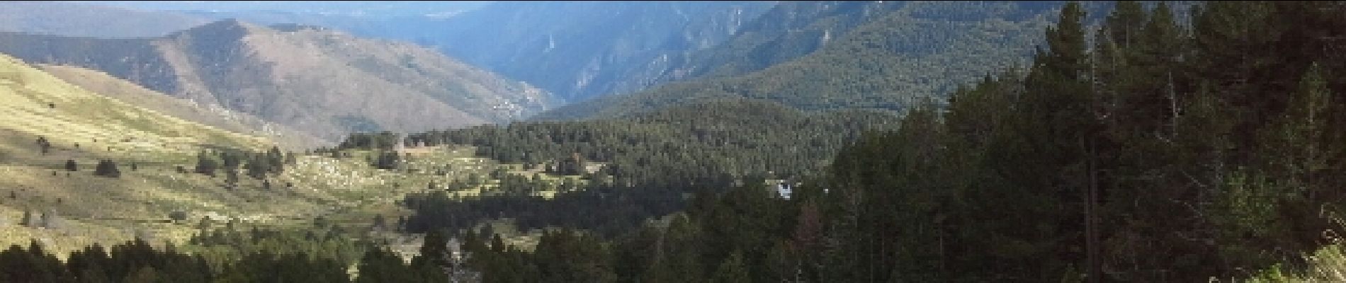
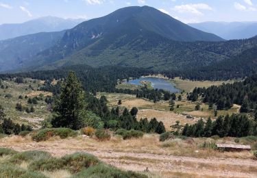
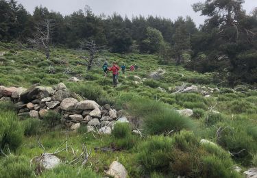
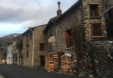
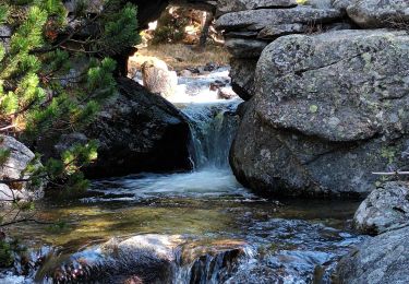
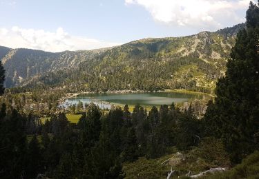
Tocht Stappen van 10,5 km beschikbaar op Occitanië, Pyrénées-Orientales, Olette. Deze tocht wordt voorgesteld door Pek56.
Beschrijving
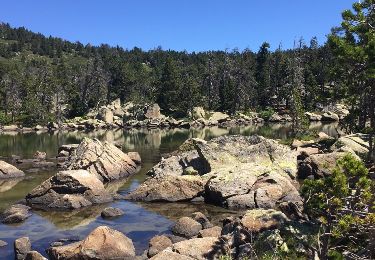
Très belle randonnée autour des lacs d'Evol et de Nohèdes.
Plaatsbepaling
Land:
France
Regio :
Occitanië
Departement/Provincie :
Pyrénées-Orientales
Gemeente :
Olette
Locatie:
Unknown
Vertrek:(Dec)
Vertrek:(UTM)
437682 ; 4719306 (31T) N.
Opmerkingen
Wandeltochten in de omgeving
NOHEDE
Stappen
Zeer moeilijk
Nohèdes,
Occitanië,
Pyrénées-Orientales,
France
16,8 km | 30 km-effort
5h 14min
Ja
20230312 Boucle depuis Railleu
Stappen
Medium
Railleu,
Occitanië,
Pyrénées-Orientales,
France
15,8 km | 25 km-effort
4h 27min
Ja
20200618 au départ de Nohèdes
Stappen
Medium
Nohèdes,
Occitanië,
Pyrénées-Orientales,
France
13,7 km | 24 km-effort
5h 22min
Ja
Nohèdes- Gorg Estelat
Te voet
Medium
Nohèdes,
Occitanië,
Pyrénées-Orientales,
France
22 km | 39 km-effort
Onbekend
Ja
les lacs de Nohede
Stappen
Medium
Nohèdes,
Occitanië,
Pyrénées-Orientales,
France
29 km | 55 km-effort
6h 44min
Neen
20230325 autre parcours sympa depuis Railleu
Stappen
Medium
Railleu,
Occitanië,
Pyrénées-Orientales,
France
17,8 km | 30 km-effort
5h 4min
Ja
railleu sansa
Stappen
Zeer moeilijk
Railleu,
Occitanië,
Pyrénées-Orientales,
France
17,2 km | 29 km-effort
5h 2min
Ja
lacs negre estellat et clot nohèdes
Stappen
Medium
Nohèdes,
Occitanië,
Pyrénées-Orientales,
France
58 km | 102 km-effort
3h 30min
Neen
lamanere coma negra
Excellente application, je l'utilise régulièrement en montagne et pas de mauvaise surprise pour le moment...