


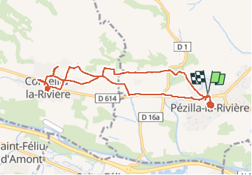

6,7 km | 11,4 km-effort


Gebruiker


Gratisgps-wandelapplicatie
 SityTrail
IGN / Geografische instituten
SityTrail World
De wereld gaat voor u open
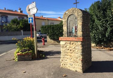
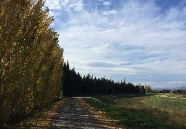
Tocht Stappen van 11 km beschikbaar op Occitanië, Pyrénées-Orientales, Pézilla-la-Rivière. Deze tocht wordt voorgesteld door MarcOBRECHT.
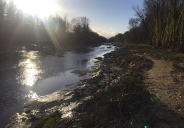
De PEZILLA, parking mairie à CORNELLA, église puis retour par les canaux et bassins tour de l'église.
Aucun dénivelé.

Te voet

Stappen

Lopen
Stappen
Stappen
Stappen
Stappen

Stappen
Stappen