


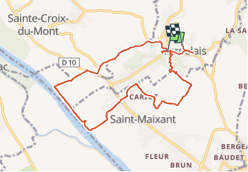

7,1 km | 8,8 km-effort

Gebruiker


Gratisgps-wandelapplicatie
 SityTrail
IGN / Geografische instituten
SityTrail World
De wereld gaat voor u open
Tocht Stappen van 10 km beschikbaar op Nieuw-Aquitanië, Gironde, Verdelais. Deze tocht wordt voorgesteld door plavengut.
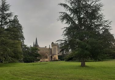
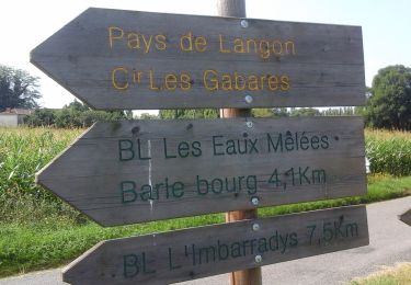
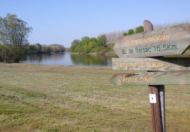
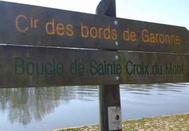
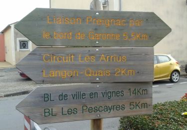
Agréable boucle au départ de la basilique de Verdelais par de petites routes à travers les vignes et les bords de Garonne. Nous avons repris la voiture pour aller pique-niquer au Pas de la mule à 1km de la basilique grand abri avec (tables et bancs)


Stappen
Stappen
Te voet
Te voet
Te voet
Te voet
Te voet
Te voet
Te voet