


9,1 km | 14 km-effort

Gebruiker GUIDE


Gratisgps-wandelapplicatie
 SityTrail
IGN / Geografische instituten
SityTrail World
De wereld gaat voor u open
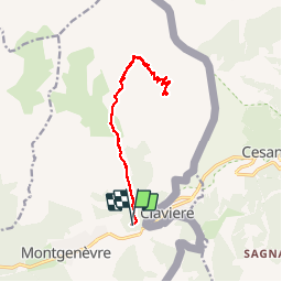
Tocht Stappen van 15,4 km beschikbaar op Provence-Alpes-Côte d'Azur, Hautes-Alpes, Montgenèvre. Deze tocht wordt voorgesteld door R@ph.
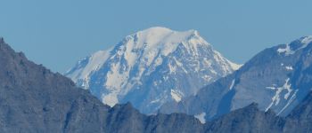
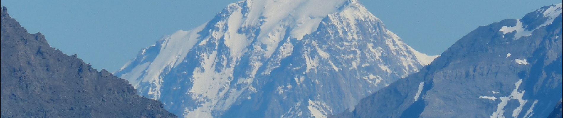
Belle randonnée vers ce point haut situé sur la frontière.
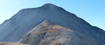
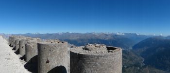
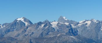
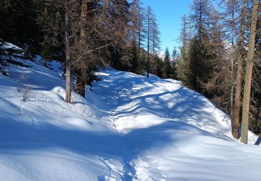
La première partie est relativement aisé il s'agit d'un chemin qui serpente au milieu de la prairie et des pins. Vous arrivez jusqu'au pied du télésiège du Rocher Rouge ou vous traversez le lit du torrent. A partir de ce point la pente s'accentue progressivement pour devenir très marquée jusqu'au col de Chaberton, point de passage obligé. Vous êtes à 2700m, il vous reste 400m à faire, mais ceux là seront les plus durs, le jeu en vaut la chandelle. Une fois là haut vous aurez un panorama à 360° fabuleux, et si vous avez la chance d'avoir du beau temps vous pourrez voir le mont-blanc et tous les massifs alpins.


Stappen

Stappen

Stappen

Stappen

Stappen

Stappen

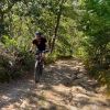
Mountainbike
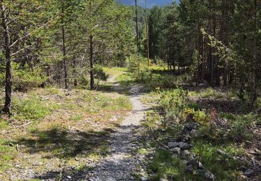
Stappen
Ski randonnée