


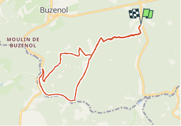

22 km | 27 km-effort


Gebruiker


Gratisgps-wandelapplicatie
 SityTrail
IGN / Geografische instituten
SityTrail World
De wereld gaat voor u open
Tocht Stappen van 8,8 km beschikbaar op Wallonië, Luxemburg, Étalle. Deze tocht wordt voorgesteld door julu.
en provenance de Buzenol prendre au prochain croisement la route en direction de St léger. Garer votre véhicule 500 m à gauche .Parking aisé

Mountainbike
Stappen

Stappen

Stappen
Stappen

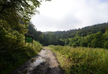
Te voet

Te voet

Te voet
Stappen