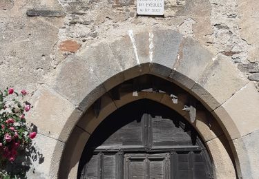
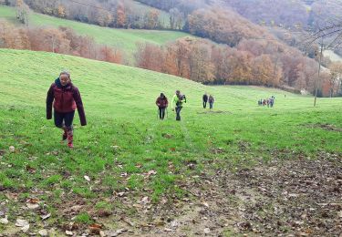
10,2 km | 11,7 km-effort
lestrade et thoueks
CASSISFRAMBOISE
Gebruiker
Lengte
26 km
Max. hoogte
792 m
Positief hoogteverschil
655 m
Km-Effort
34 km
Min. hoogte
514 m
Negatief hoogteverschil
639 m
Boucle
Neen
Datum van aanmaak :
2022-11-02 13:11:56.098
Laatste wijziging :
2022-11-02 16:41:42.822
3h26
Moeilijkheid : Moeilijk
Gratisgps-wandelapplicatie
Over ons
Tocht Mountainbike van 26 km beschikbaar op Occitanië, Aveyron, Villefranche-de-Panat. Deze tocht wordt voorgesteld door CASSISFRAMBOISE.

Plaatsbepaling
Land:
France
Regio :
Occitanië
Departement/Provincie :
Aveyron
Gemeente :
Villefranche-de-Panat
Locatie:
Unknown
Vertrek:(Dec)
Vertrek:(UTM)
476111 ; 4881486 (31T) N.
Opmerkingen
Wandeltochten in de omgeving
Circumlacustre Villefranche-de-Panat
Te voet
Gemakkelijk
Alrance,
Occitanië,
Aveyron,
France
2h 39min
Ja
Villefranche de Panat
Stappen
Gemakkelijk
(2)
Villefranche-de-Panat,
Occitanië,
Aveyron,
France
10,4 km | 11,9 km-effort
2h 42min
Ja
Villefranche de Panat à Salles Curan
Stappen
Zeer moeilijk
Villefranche-de-Panat,
Occitanië,
Aveyron,
France
24 km | 31 km-effort
4h 53min
Neen
Randonnée Téléthon
Stappen
Moeilijk
Lestrade-et-Thouels,
Occitanië,
Aveyron,
France
8,9 km | 13,6 km-effort
3h 4min
Ja
brousse le château
Stappen
Zeer moeilijk
Le Truel,
Occitanië,
Aveyron,
France
19,8 km | 28 km-effort
9h 4min
Neen
randonnée Villefranche de panat
Stappen
Moeilijk
Villefranche-de-Panat,
Occitanië,
Aveyron,
France
10,2 km | 12,7 km-effort
3h 10min
Ja
randonnée l'estrade et thouesl
Stappen
Medium
Lestrade-et-Thouels,
Occitanië,
Aveyron,
France
9,4 km | 12 km-effort
2h 30min
Ja
de truel au viala du tarn in live
Stappen
Moeilijk
Le Truel,
Occitanië,
Aveyron,
France
21 km | 32 km-effort
5h 7min
Neen