


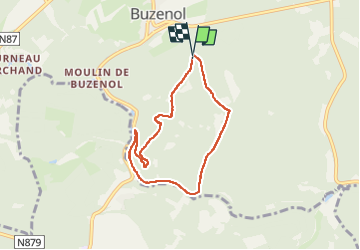

22 km | 27 km-effort

Passion Nature Contemplation


Gratisgps-wandelapplicatie
 SityTrail
IGN / Geografische instituten
SityTrail World
De wereld gaat voor u open
Tocht Stappen van 6,1 km beschikbaar op Wallonië, Luxemburg, Étalle. Deze tocht wordt voorgesteld door Gaume tranquille.
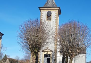
venant de Chantemelle à l'entrée de Buzenol à gauche, une petite route vers la foret permet de se garer .

Mountainbike
Stappen

Stappen

Stappen
Stappen

Te voet

Te voet

Te voet
Stappen