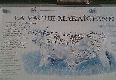
10,2 km | 10,9 km-effort
Epannes_fougerit_2
olaze
Gebruiker
Lengte
8,8 km
Max. hoogte
28 m
Positief hoogteverschil
41 m
Km-Effort
9,3 km
Min. hoogte
15 m
Negatief hoogteverschil
40 m
Boucle
Ja
Datum van aanmaak :
2014-12-10 00:00:00.0
Laatste wijziging :
2014-12-10 00:00:00.0
2h05
Moeilijkheid : Gemakkelijk
Gratisgps-wandelapplicatie
Over ons
Tocht Stappen van 8,8 km beschikbaar op Nieuw-Aquitanië, Deux-Sèvres, Épannes. Deze tocht wordt voorgesteld door olaze.
Beschrijving
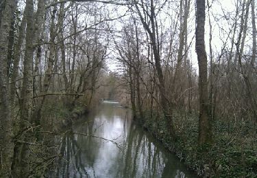
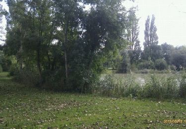
Départ & retour du plan d'eau d'Epannes.Dans le marais , la campagne . 09/2014
Plaatsbepaling
Land:
France
Regio :
Nieuw-Aquitanië
Departement/Provincie :
Deux-Sèvres
Gemeente :
Épannes
Locatie:
Unknown
Vertrek:(Dec)
Vertrek:(UTM)
687402 ; 5122448 (30T) N.
Opmerkingen
Wandeltochten in de omgeving
Epannes. plan d'eau .(9km)
Stappen
Heel gemakkelijk
Épannes,
Nieuw-Aquitanië,
Deux-Sèvres,
France
2h 12min
Ja
Epannes . (fougerit)
Stappen
Gemakkelijk
Épannes,
Nieuw-Aquitanië,
Deux-Sèvres,
France
9,7 km | 10,3 km-effort
2h 18min
Ja
Sansais (9,6km)
Stappen
Gemakkelijk
Sansais,
Nieuw-Aquitanië,
Deux-Sèvres,
France
9,6 km | 10,5 km-effort
2h 25min
Ja
La Rochenard
Stappen
Heel gemakkelijk
La Rochénard,
Nieuw-Aquitanië,
Deux-Sèvres,
France
3 km | 3,3 km-effort
1h 18min
Ja
Le Bourdet - 10km
Stappen
Gemakkelijk
Le Bourdet,
Nieuw-Aquitanië,
Deux-Sèvres,
France
10,5 km | 11,1 km-effort
2h 28min
Ja
Epannes (plan d'eau). 6,8km
Stappen
Gemakkelijk
Épannes,
Nieuw-Aquitanië,
Deux-Sèvres,
France
6,8 km | 7,2 km-effort
1h 49min
Ja
Epannes (Le Bourdet). 9,3km
Stappen
Gemakkelijk
Épannes,
Nieuw-Aquitanië,
Deux-Sèvres,
France
9,3 km | 9,8 km-effort
2h 22min
Ja
La Foye Montjault 2018
Stappen
Gemakkelijk
La Foye-Monjault,
Nieuw-Aquitanië,
Deux-Sèvres,
France
8 km | 8,9 km-effort
1h 45min
Ja
Amuré 7.4 km
Stappen
Gemakkelijk
Amuré,
Nieuw-Aquitanië,
Deux-Sèvres,
France
7,4 km | 7,8 km-effort
1h 46min
Ja