


12,8 km | 15 km-effort


Gebruiker


Gratisgps-wandelapplicatie
 SityTrail
IGN / Geografische instituten
SityTrail World
De wereld gaat voor u open
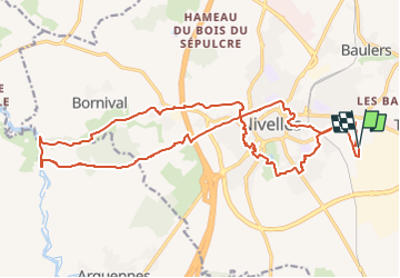
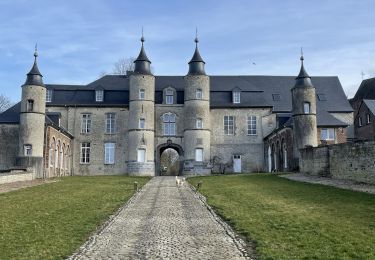
Tocht Stappen van 21 km beschikbaar op Wallonië, Waals-Brabant, Nijvel. Deze tocht wordt voorgesteld door jeangulu.
Point de départ : Rue Buisson aux loups - 12 [ 1400 ] - NIVELLES.
Carte IGN : 39/7
Organisateur : Foyer Général Cornet asbl - Jean -Charles Cusse - 0497 117 889.
Gare/Transport en commun : Gare de Nivelles à 2000m.
Remarques : Accès véhicules par la rue de l'Industrie ( Zoning Sud )

Stappen

Stappen

Stappen
Stappen

Stappen
Stappen
Mountainbike
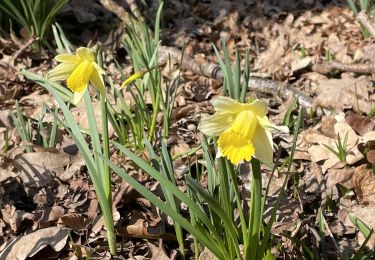
Stappen
Stappen