


19,5 km | 30 km-effort

Gebruiker GUIDE


Gratisgps-wandelapplicatie
 SityTrail
IGN / Geografische instituten
SityTrail World
De wereld gaat voor u open
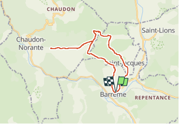
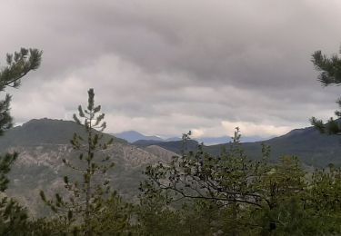
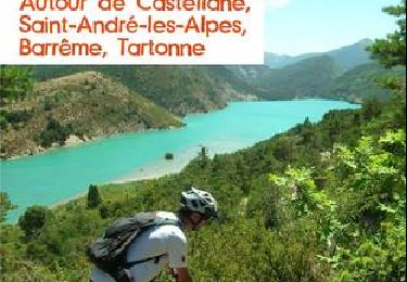
Tocht Stappen van 15,7 km beschikbaar op Provence-Alpes-Côte d'Azur, Alpes-de-Haute-Provence, Barrême. Deze tocht wordt voorgesteld door Kargil.
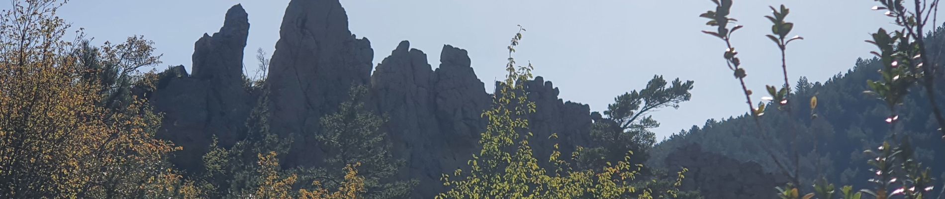
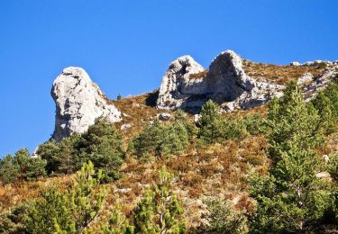
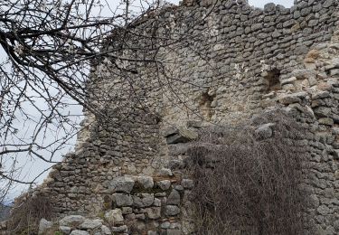
Dernière descente avant Saint Jacques à aborder avec attention.
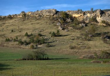
Pas de difficultés techniques


Stappen
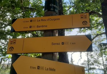
Stappen
Stappen
Stappen
Mountainbike

Paard
Stappen

Te voet
Mountainbike