5,4 km | 7,1 km-effort
Tanyarède-Col d'Ullat
georghinio
Gebruiker
Lengte
3,4 km
Max. hoogte
1246 m
Positief hoogteverschil
185 m
Km-Effort
6,2 km
Min. hoogte
950 m
Negatief hoogteverschil
304 m
Boucle
Neen
Datum van aanmaak :
2022-10-05 08:05:54.733
Laatste wijziging :
2022-10-05 08:07:09.651
1h24
Moeilijkheid : Medium
Gratisgps-wandelapplicatie
Over ons
Tocht Stappen van 3,4 km beschikbaar op Occitanië, Pyrénées-Orientales, Sorède. Deze tocht wordt voorgesteld door georghinio.
Beschrijving
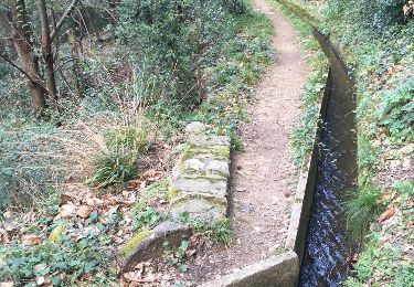
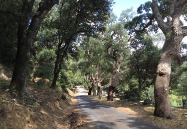
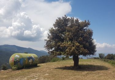
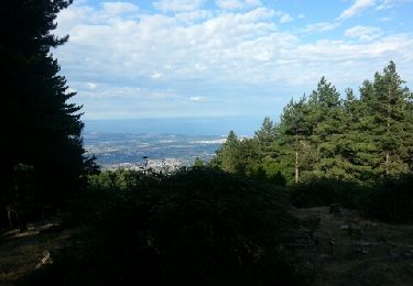
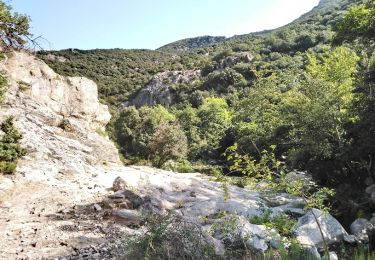
Troçon manquant à cause de l'appli, départ source de la Tanyarède au col de l'Ullat
Plaatsbepaling
Land:
France
Regio :
Occitanië
Departement/Provincie :
Pyrénées-Orientales
Gemeente :
Sorède
Locatie:
Unknown
Vertrek:(Dec)
Vertrek:(UTM)
496035 ; 4702932 (31T) N.
Opmerkingen
Wandeltochten in de omgeving
Laroque-des-Albères, petit tour des mas
Stappen
Heel gemakkelijk
(1)
Laroque-des-Albères,
Occitanië,
Pyrénées-Orientales,
France
1h 47min
Ja
66 SOREDE, LAROQUE DES ALBERES, chemins des Mas
Stappen
Medium
(1)
Laroque-des-Albères,
Occitanië,
Pyrénées-Orientales,
France
7 km | 8,9 km-effort
1h 22min
Ja
SAINT-JEAN-D'ALBERE 66 - PUIG de Sant Christau par le coll de Sant Joan
Stappen
Moeilijk
(1)
L'Albère,
Occitanië,
Pyrénées-Orientales,
France
10,1 km | 17 km-effort
2h 46min
Ja
Utrera Font Miracles T
Stappen
Medium
(1)
Sorède,
Occitanië,
Pyrénées-Orientales,
France
10,7 km | 17,6 km-effort
3h 50min
Ja
577. 11km sorede roc des medes
Stappen
Medium
(1)
Sorède,
Occitanië,
Pyrénées-Orientales,
France
10,5 km | 18,2 km-effort
3h 42min
Ja
Col-Ullat Pic-aureille_Terrain
Stappen
Medium
(1)
Laroque-des-Albères,
Occitanië,
Pyrénées-Orientales,
France
11,2 km | 23 km-effort
4h 47min
Ja
laroque . four solaire . sorede . laroque
Stappen
Medium
Laroque-des-Albères,
Occitanië,
Pyrénées-Orientales,
France
7,7 km | 9,2 km-effort
1h 57min
Ja
Vallée Heureuse - Château d'Ultrera
Te voet
Gemakkelijk
Sorède,
Occitanië,
Pyrénées-Orientales,
France
10,9 km | 19,4 km-effort
4h 23min
Ja
Sorède - La Vall - 6.6km 210m 2h00 - 2018 09 08
Stappen
Gemakkelijk
Sorède,
Occitanië,
Pyrénées-Orientales,
France
6,6 km | 8,8 km-effort
2h 0min
Ja