


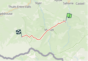

5,3 km | 8,7 km-effort


Gebruiker


Gratisgps-wandelapplicatie
 SityTrail
IGN / Geografische instituten
SityTrail World
De wereld gaat voor u open
Tocht Stappen van 12,8 km beschikbaar op Occitanië, Pyrénées-Orientales, Py. Deze tocht wordt voorgesteld door georghinio.
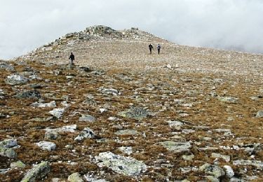
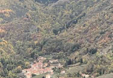
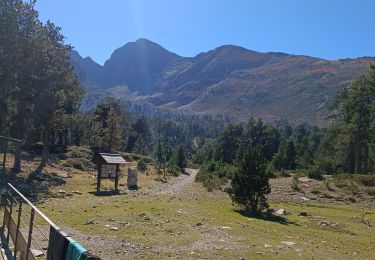
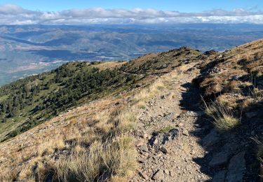
Départ du village de Py Jusqu'au ruisseau avant le refuge de la Carença, de grosses montées surtout pour passer le col del Pal et belle descente sur la Carença.

Stappen
Stappen

Sneeuwschoenen

Stappen
Stappen
Stappen
Stappen
Stappen
Stappen