


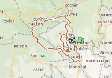


65 km | 93 km-effort

Gebruiker GUIDE


Gratisgps-wandelapplicatie
 SityTrail
IGN / Geografische instituten
SityTrail World
De wereld gaat voor u open
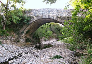
Tocht Stappen van 24 km beschikbaar op Auvergne-Rhône-Alpes, Ardèche, Largentière. Deze tocht wordt voorgesteld door randodyssée.
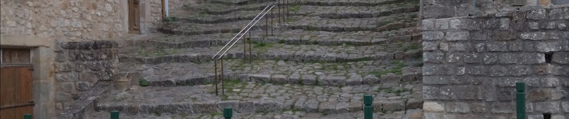
pas de Sentier ds rivière, mais une sente balisee orange qui sort ds une propriété.
redescente ds la rivière au retour très raide,
Sinon rando sympa


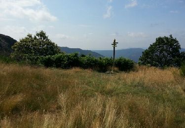
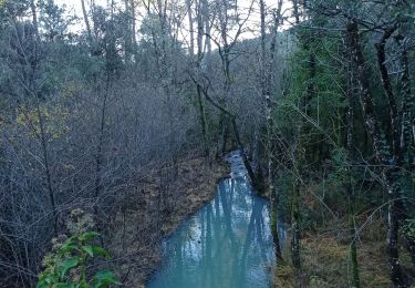
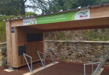
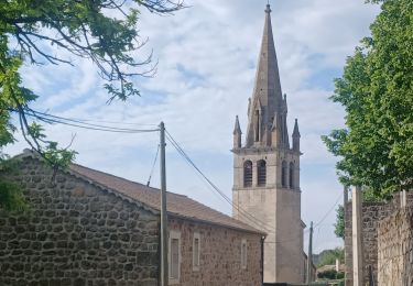
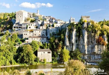
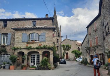
21 fotos in totaal. Klik op een foto om ze allemaal in de galerij weer te geven.
Mountainbike

Stappen
Stappen
Wegfiets
Stappen
Stappen
Stappen
Te voet
Stappen