


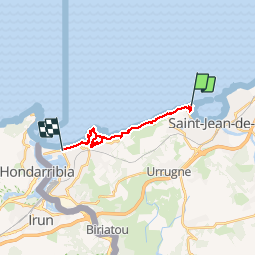

18,8 km | 27 km-effort


Gebruiker


Gratisgps-wandelapplicatie
 SityTrail
IGN / Geografische instituten
SityTrail World
De wereld gaat voor u open
Tocht Stappen van 14,6 km beschikbaar op Nieuw-Aquitanië, Pyrénées-Atlantiques, Ciboure. Deze tocht wordt voorgesteld door PVERTICAL.
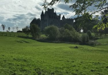
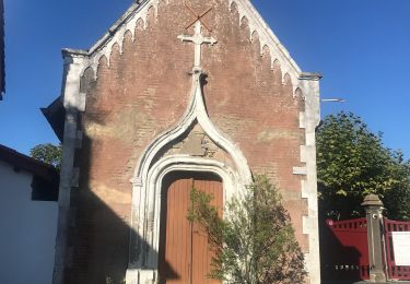
PORTION SOCOA/HENDAYE - avec détour château ABADIA - bus disponible depuis office du tourisme de Hendaye jusqu'à plage de Socoa


Stappen

Stappen

Mountainbike

Stappen
Stappen
Stappen
Mountainbike
Stappen
Stappen