


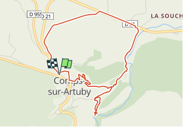

7,9 km | 11,7 km-effort

Gebruiker


Gratisgps-wandelapplicatie
 SityTrail
IGN / Geografische instituten
SityTrail World
De wereld gaat voor u open
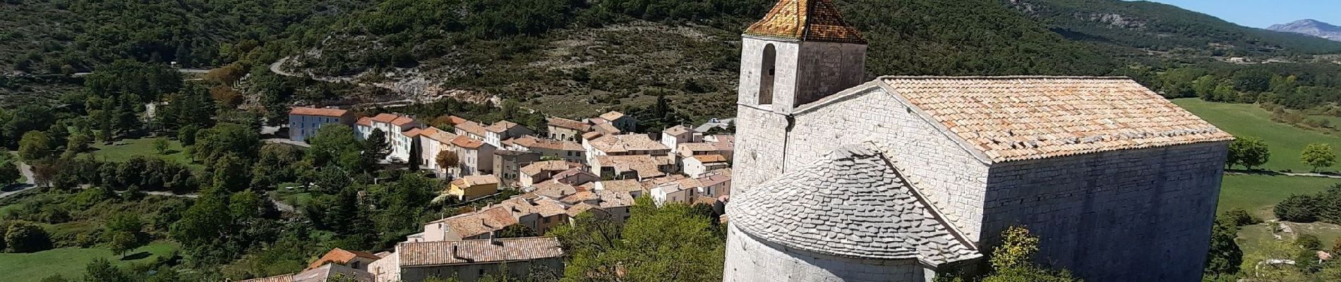
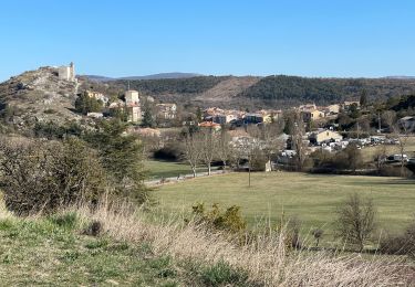
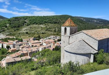
Tocht Stappen van 5,7 km beschikbaar op Provence-Alpes-Côte d'Azur, Var, Comps-sur-Artuby. Deze tocht wordt voorgesteld door Chantheys.
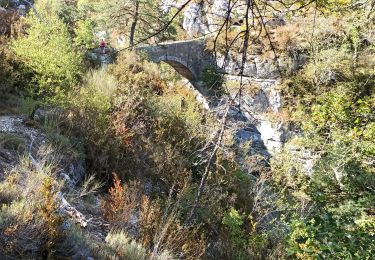
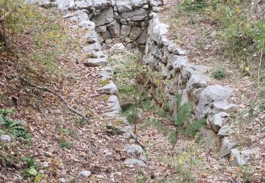
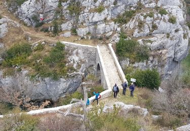
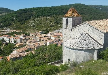
Oubliez les passages sur la D 955 et la D 21, concentrez-vous sur les paysages pour arriver sur le chemin du moulin. C'est là que la randonnée devient charmante.


Stappen
Stappen
Stappen
Stappen
Stappen
Stappen
Stappen
Stappen
Stappen