


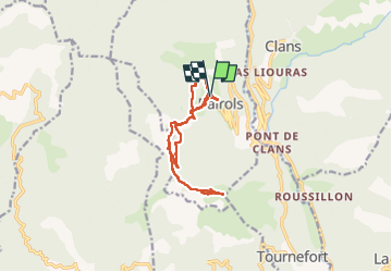

12,7 km | 25 km-effort


Gebruiker


Gratisgps-wandelapplicatie
 SityTrail
IGN / Geografische instituten
SityTrail World
De wereld gaat voor u open
Tocht Stappen van 13,2 km beschikbaar op Provence-Alpes-Côte d'Azur, Alpes-Maritimes, Bairols. Deze tocht wordt voorgesteld door pln30.
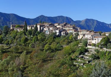
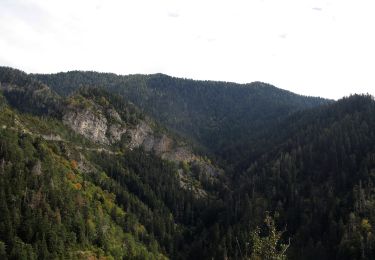
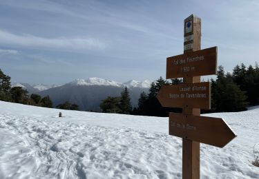
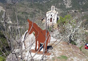
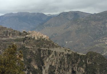
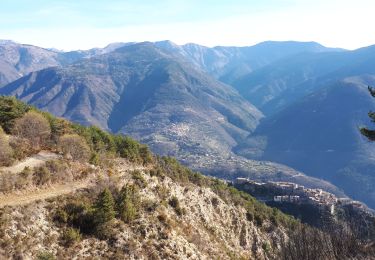
Une randonnée facile depuis bairols, jusqu'au mont farloude qui offre un très beau panorama sur les vallée de la tinée et la vallée du var, vous pouvez retrouver cette randonnée sur ma chaine youtube " air view channel "
Te voet

Te voet
Te voet
Te voet
Stappen
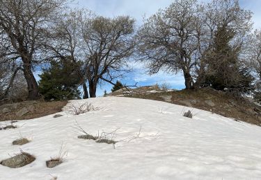
Sneeuwschoenen
Stappen
Stappen
Stappen