


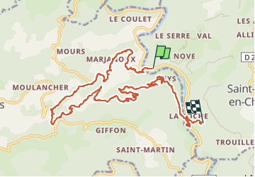


23 km | 35 km-effort

Gebruiker GUIDE


Gratisgps-wandelapplicatie
 SityTrail
IGN / Geografische instituten
SityTrail World
De wereld gaat voor u open
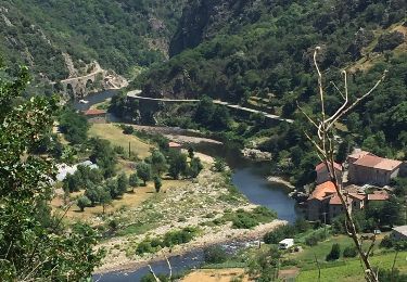
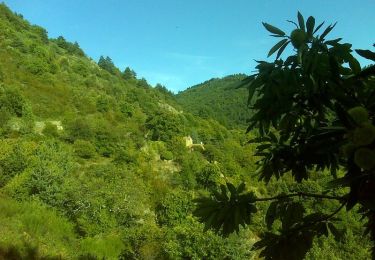
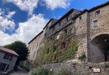
Tocht Stappen van 12,3 km beschikbaar op Auvergne-Rhône-Alpes, Ardèche, Saint-Maurice-en-Chalencon. Deze tocht wordt voorgesteld door randodyssée.
gene
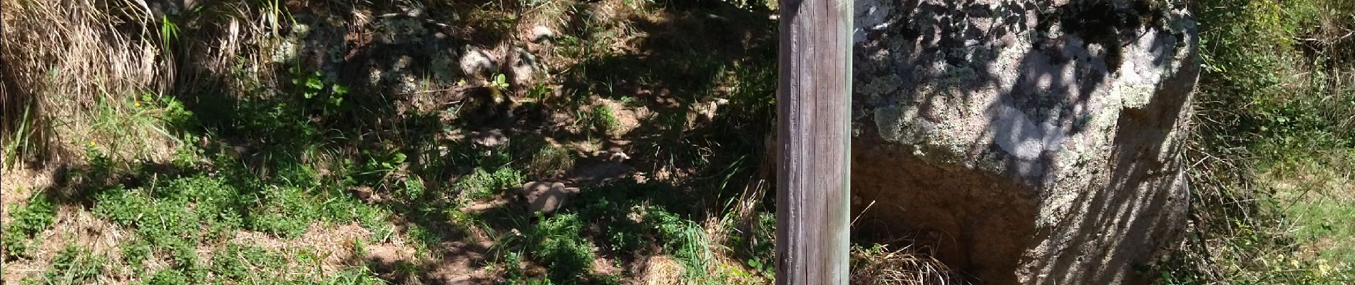
Sentier chapelle a éviter
rester sur GR


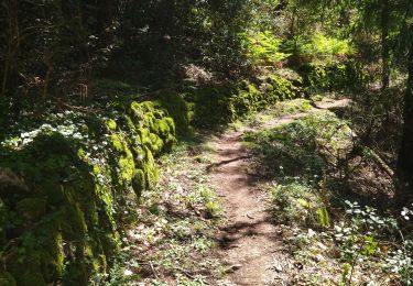
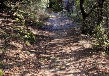
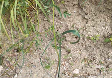
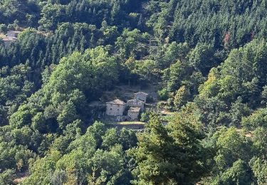
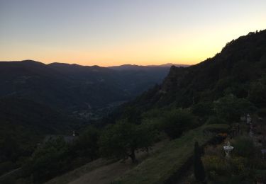
21 fotos in totaal. Klik op een foto om ze allemaal in de galerij weer te geven.
Stappen
Stappen
Stappen
Stappen
Stappen

Stappen
Stappen
Stappen
Stappen