


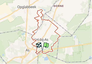

14,2 km | 16,2 km-effort


Gebruiker GUIDE


Gratisgps-wandelapplicatie
 SityTrail
IGN / Geografische instituten
SityTrail World
De wereld gaat voor u open
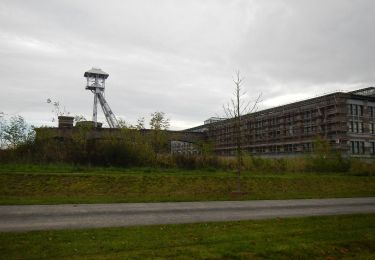
Tocht Stappen van 15,8 km beschikbaar op Vlaanderen, Limburg, As. Deze tocht wordt voorgesteld door mumu.larandonneuse.
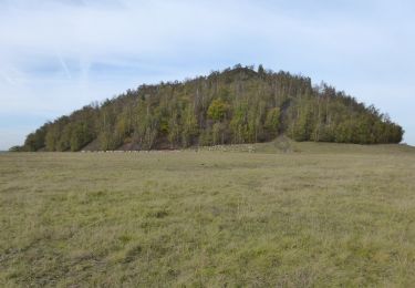
Balade balisée rouge.
Gpx pris sur le site du Hoge Kempen.
📌 Porte d'entrée Gare d'As (une des 6 portes d'entrée du Parc National)

Stappen
Te voet
Te voet
Te voet
Te voet
Te voet
Te voet
Te voet
Te voet