7,8 km | 10,8 km-effort
nothomb
pvancau
Gebruiker
Lengte
8,8 km
Max. hoogte
369 m
Positief hoogteverschil
160 m
Km-Effort
10,9 km
Min. hoogte
290 m
Negatief hoogteverschil
165 m
Boucle
Ja
Datum van aanmaak :
2014-12-10 00:00:00.0
Laatste wijziging :
2014-12-10 00:00:00.0
2h23
Moeilijkheid : Gemakkelijk
Gratisgps-wandelapplicatie
Over ons
Tocht Stappen van 8,8 km beschikbaar op Wallonië, Luxemburg, Attert. Deze tocht wordt voorgesteld door pvancau.
Beschrijving
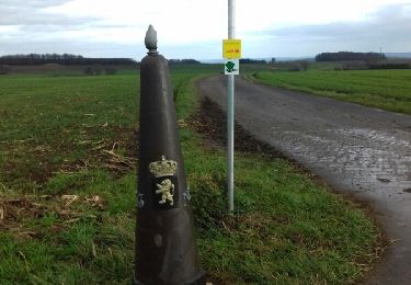
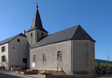
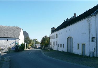
Nothomb - Grendel - Colpach-Haut (GDL) - Nothomb à travers beaux villages et chemins agricoles
Plaatsbepaling
Land:
Belgium
Regio :
Wallonië
Departement/Provincie :
Luxemburg
Gemeente :
Attert
Locatie:
Nothomb
Vertrek:(Dec)
Vertrek:(UTM)
700724 ; 5516998 (31U) N.
Opmerkingen
Wandeltochten in de omgeving
Nothomb - Circuit Natura 2000, des sites qui valent le détour - Lx14
Stappen
Medium
(2)
Attert,
Wallonië,
Luxemburg,
Belgium
2h 18min
Ja
nothomb
Stappen
Heel gemakkelijk
(1)
Attert,
Wallonië,
Luxemburg,
Belgium
3,9 km | 5,3 km-effort
58min
Neen
Auto-pédestre : Ell
Te voet
Gemakkelijk
Ell,
Onbekend,
Canton Redange,
Luxembourg
10,6 km | 13,7 km-effort
3h 6min
Ja
Oberpallen Wanderpfad / FB BL
Te voet
Gemakkelijk
(1)
Beckerich,
Onbekend,
Canton Redange,
Luxembourg
8,2 km | 9,8 km-effort
2h 13min
Ja
RB-LUX-15 Raccorci -- Près des sources de la Semois
Stappen
Gemakkelijk
Attert,
Wallonië,
Luxemburg,
Belgium
15,4 km | 19,4 km-effort
4h 9min
Ja
Autopedestres : Holtz
Stappen
Heel gemakkelijk
(1)
Rambrouch,
Onbekend,
Canton Redange,
Luxembourg
8,8 km | 11,9 km-effort
Onbekend
Ja
RB-LUX-15 - Près des sources de la Semois
Stappen
Medium
Attert,
Wallonië,
Luxemburg,
Belgium
18,6 km | 24 km-effort
5h 6min
Ja
Nothomb - Au fil de l'eau
Te voet
Gemakkelijk
Attert,
Wallonië,
Luxemburg,
Belgium
7,7 km | 10,6 km-effort
2h 25min
Ja
Grensoverschrijdende wandeling rond het kasteel van Colpach
Te voet
Gemakkelijk
Ell,
Onbekend,
Canton Redange,
Luxembourg
12,8 km | 16,1 km-effort
3h 39min
Ja