


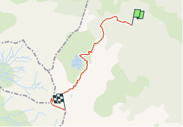

6,6 km | 11 km-effort


Gebruiker


Gratisgps-wandelapplicatie
 SityTrail
IGN / Geografische instituten
SityTrail World
De wereld gaat voor u open
Tocht Stappen van 5,2 km beschikbaar op Nieuw-Aquitanië, Pyrénées-Atlantiques, Laruns. Deze tocht wordt voorgesteld door dporcher.
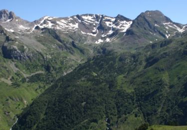
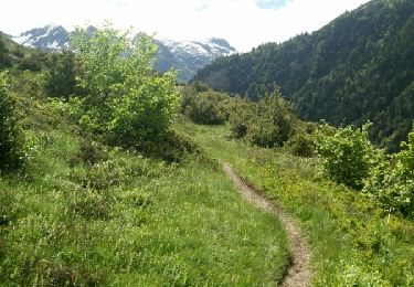
Jusqu'au lac , très raide mais évident.Ensuite suivre un bon sentier qui contourne le lac par sa rive droite et vous conduit dans le vallon surplombant le lac . Remonter ce vallon vers le sud-ouest jusqu'à arriver à l'aplomb d'un petit collet sur la crête qui est à votre droite . Arrivé à ce collet suivre l'arête qui conduit au pic de Sesques et aux restes de son observatoire.
Pas de difficultés par beau temps sauf névés résiduels en début de saison!
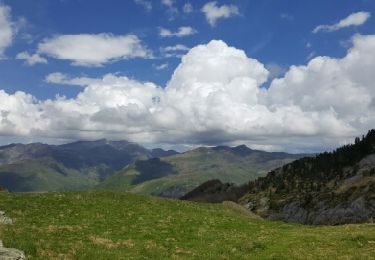
Dans la dernière partie hors sentier, certaines petites barres rocheuses franchises directement peuvent être facilement contournées soit par la droite soit par la gauche
Stappen
Te voet
Andere activiteiten
Stappen
Stappen

Te voet
Te voet
Te voet
Te voet