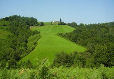
7,7 km | 11,3 km-effort
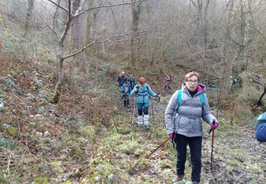
ARETTE le tour du Soum de Casteigt "3356635"tracé definitif G4 du 26/08/2022
marmotte65
Gebruiker GUIDE
Lengte
7,8 km
Max. hoogte
575 m
Positief hoogteverschil
279 m
Km-Effort
11,6 km
Min. hoogte
323 m
Negatief hoogteverschil
278 m
Boucle
Ja
Datum van aanmaak :
2022-08-16 11:54:34.254
Laatste wijziging :
2022-08-16 12:08:53.668
2h37
Moeilijkheid : Gemakkelijk
Gratisgps-wandelapplicatie
Over ons
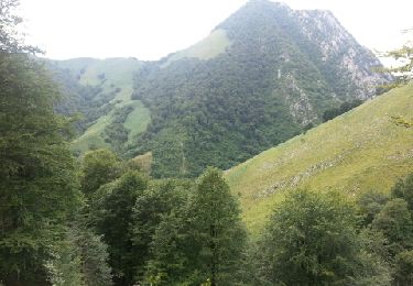
Tocht Te voet van 7,8 km beschikbaar op Nieuw-Aquitanië, Pyrénées-Atlantiques, Arette. Deze tocht wordt voorgesteld door marmotte65.
Beschrijving
Apres la reco faite le 16/8/2022 avec Daniel voici tracé definitif G4 du 26/08/2022
Plaatsbepaling
Land:
France
Regio :
Nieuw-Aquitanië
Departement/Provincie :
Pyrénées-Atlantiques
Gemeente :
Arette
Locatie:
Unknown
Vertrek:(Dec)
Vertrek:(UTM)
685932 ; 4773915 (30T) N.
Opmerkingen
Wandeltochten in de omgeving
Chemin des pantières - Lanne en Barétous
Stappen
Medium
(2)
Lanne-en-Barétous,
Nieuw-Aquitanië,
Pyrénées-Atlantiques,
France
2h 30min
Ja
ARAMITS "une virée chez les mousquetaires" G3 fait 3075825
Stappen
Moeilijk
Aramits,
Nieuw-Aquitanië,
Pyrénées-Atlantiques,
France
11,1 km | 16 km-effort
3h 3min
Ja
ARAMITS reco une virée chez les mousquetaires
Stappen
Medium
Aramits,
Nieuw-Aquitanië,
Pyrénées-Atlantiques,
France
11,3 km | 16,1 km-effort
4h 56min
Ja
Crêtes d'Issor
Te voet
Medium
Arette,
Nieuw-Aquitanië,
Pyrénées-Atlantiques,
France
8,7 km | 12,8 km-effort
Onbekend
Ja
lanneenbaretous fait
Stappen
Heel gemakkelijk
Lanne-en-Barétous,
Nieuw-Aquitanië,
Pyrénées-Atlantiques,
France
11,6 km | 16 km-effort
5h 34min
Neen
montée impossible
Stappen
Medium
Arette,
Nieuw-Aquitanië,
Pyrénées-Atlantiques,
France
9,3 km | 18,4 km-effort
31min
Neen
De Aramits à Ance
Stappen
Moeilijk
Aramits,
Nieuw-Aquitanië,
Pyrénées-Atlantiques,
France
13,6 km | 19,8 km-effort
3h 40min
Neen
transumance
Stappen
Heel gemakkelijk
Arette,
Nieuw-Aquitanië,
Pyrénées-Atlantiques,
France
6,6 km | 8,2 km-effort
1h 33min
Neen
G4 lanne baretous fait
Stappen
Medium
Lanne-en-Barétous,
Nieuw-Aquitanië,
Pyrénées-Atlantiques,
France
8,6 km | 11,6 km-effort
3h 1min
Ja