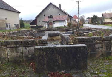
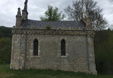
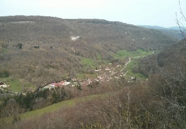
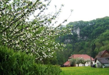
11,5 km | 16,5 km-effort
xx
patch134
Gebruiker
Lengte
2 km
Max. hoogte
453 m
Positief hoogteverschil
33 m
Km-Effort
2,6 km
Min. hoogte
382 m
Negatief hoogteverschil
67 m
Boucle
Neen
Datum van aanmaak :
2022-08-10 14:29:17.23
Laatste wijziging :
2022-08-10 14:56:36.016
26m
Moeilijkheid : Heel gemakkelijk
Gratisgps-wandelapplicatie
Over ons
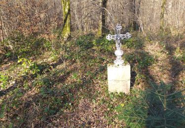
Tocht Trail van 2 km beschikbaar op Bourgondië-Franche-Comté, Doubs, Servin. Deze tocht wordt voorgesteld door patch134.
Plaatsbepaling
Land:
France
Regio :
Bourgondië-Franche-Comté
Departement/Provincie :
Doubs
Gemeente :
Servin
Locatie:
Unknown
Vertrek:(Dec)
Vertrek:(UTM)
307641 ; 5244101 (32T) N.
Opmerkingen
Wandeltochten in de omgeving
Villers st Martin "la combe au louvier"
Stappen
Medium
(1)
Villers-Saint-Martin,
Bourgondië-Franche-Comté,
Doubs,
France
7h 18min
Ja
Val de Cusance, source bleue
Andere activiteiten
Gemakkelijk
(2)
Cusance,
Bourgondië-Franche-Comté,
Doubs,
France
14,5 km | 21 km-effort
2h 14min
Ja
Crosey le petit , le grand, Servin.
Mountainbike
Medium
Crosey-le-Petit,
Bourgondië-Franche-Comté,
Doubs,
France
29 km | 37 km-effort
2h 38min
Ja
Lanans
Stappen
Gemakkelijk
(1)
Lanans,
Bourgondië-Franche-Comté,
Doubs,
France
15,1 km | 18,9 km-effort
2h 33min
Ja
Le val de cusance le 25 25/04/2019
Stappen
Cusance,
Bourgondië-Franche-Comté,
Doubs,
France
14,3 km | 17,4 km-effort
1h 44min
Neen
Mont guillon
Stappen
Medium
Guillon-les-Bains,
Bourgondië-Franche-Comté,
Doubs,
France
6,9 km | 10,3 km-effort
1h 44min
Ja
Le Mont de Guillon - Doubs
Stappen
Gemakkelijk
Guillon-les-Bains,
Bourgondië-Franche-Comté,
Doubs,
France
5,4 km | 8,5 km-effort
2h 0min
Ja
Crêtes hie te
Stappen
Gemakkelijk
Villers-Saint-Martin,
Bourgondië-Franche-Comté,
Doubs,
France
4,5 km | 6,2 km-effort
1h 56min
Neen
Vallée du Cusancin
Te voet
Heel gemakkelijk
Cusance,
Bourgondië-Franche-Comté,
Doubs,
France
15,7 km | 23 km-effort
Onbekend
Ja