


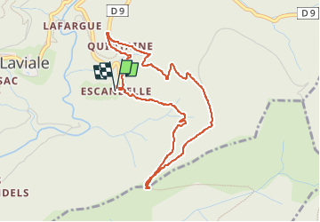

6,4 km | 10 km-effort


Gebruiker


Gratisgps-wandelapplicatie
 SityTrail
IGN / Geografische instituten
SityTrail World
De wereld gaat voor u open
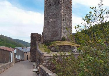
Tocht Stappen van 4,6 km beschikbaar op Occitanië, Aude, Castans. Deze tocht wordt voorgesteld door louisng.
Par le chemin de Paulette puis le chemin de la source pour suivre l'usqu'a l'ancien relais que l'on contourne jusqu'au poirier.
On peut revenir en suivant la piste vers l'est jusqu'au chemin qui revient à Escandelle par-là bergerie d'Adrien.

Stappen
Te voet

Te voet

Te voet

Te voet

Te voet
Stappen
Stappen
Stappen