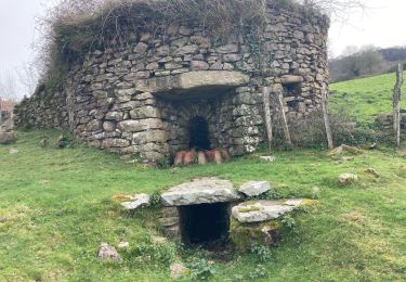
6,6 km | 8,9 km-effort
Ibantelli boucle
garsbruno
Gebruiker
Lengte
10,4 km
Max. hoogte
681 m
Positief hoogteverschil
562 m
Km-Effort
18 km
Min. hoogte
118 m
Negatief hoogteverschil
595 m
Boucle
Ja
Datum van aanmaak :
2022-08-04 07:26:41.29
Laatste wijziging :
2022-08-07 20:54:27.91
4h28
Moeilijkheid : Medium
Gratisgps-wandelapplicatie
Over ons
Tocht Stappen van 10,4 km beschikbaar op Nieuw-Aquitanië, Pyrénées-Atlantiques, Sare. Deze tocht wordt voorgesteld door garsbruno.
Beschrijving
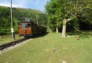
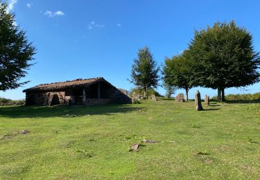
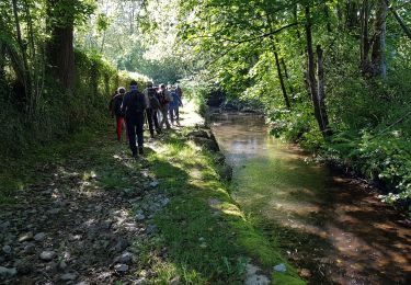
pic Ibantelli en boucle depuis parking sur la D306.
Plaatsbepaling
Land:
France
Regio :
Nieuw-Aquitanië
Departement/Provincie :
Pyrénées-Atlantiques
Gemeente :
Sare
Locatie:
Unknown
Vertrek:(Dec)
Vertrek:(UTM)
613291 ; 4792847 (30T) N.
Opmerkingen
Wandeltochten in de omgeving
La Rhune
Stappen
Medium
Sare,
Nieuw-Aquitanië,
Pyrénées-Atlantiques,
France
6,7 km | 9,7 km-effort
2h 18min
Neen
La rhune par la face EST
Stappen
Medium
(1)
Sare,
Nieuw-Aquitanië,
Pyrénées-Atlantiques,
France
13,8 km | 26 km-effort
5h 10min
Ja
sare les palombieres
Stappen
Gemakkelijk
Sare,
Nieuw-Aquitanië,
Pyrénées-Atlantiques,
France
15,8 km | 24 km-effort
4h 44min
Ja
la rhune depuis Sare (2)
Stappen
Heel gemakkelijk
(4)
Sare,
Nieuw-Aquitanië,
Pyrénées-Atlantiques,
France
13,9 km | 26 km-effort
4h 0min
Ja
atxuria zugaramurdi
Stappen
Heel gemakkelijk
(3)
Sare,
Nieuw-Aquitanië,
Pyrénées-Atlantiques,
France
10,3 km | 18,7 km-effort
3h 50min
Ja
Lizarieta descente par palombieres
Stappen
Heel gemakkelijk
Sare,
Nieuw-Aquitanië,
Pyrénées-Atlantiques,
France
8,9 km | 11,9 km-effort
2h 49min
Neen
col de lizarrieta et col des 3 bornes
Stappen
Moeilijk
Sare,
Nieuw-Aquitanië,
Pyrénées-Atlantiques,
France
13 km | 18,5 km-effort
3h 45min
Ja
Lizarrieta, Zentinel, col des 3 bornes, 2024 03 04.
Stappen
Moeilijk
Sare,
Nieuw-Aquitanië,
Pyrénées-Atlantiques,
France
12,4 km | 17,8 km-effort
4h 3min
Ja