


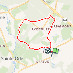


15,2 km | 18,6 km-effort
Randonnées de la Grande Forêt de Saint-Hubert GUIDE+


Gratisgps-wandelapplicatie
 SityTrail
IGN / Geografische instituten
SityTrail World
De wereld gaat voor u open
Tocht Stappen van 6,3 km beschikbaar op Wallonië, Luxemburg, Sainte-Ode. Deze tocht wordt voorgesteld door La Grande Forêt de Saint-Hubert.
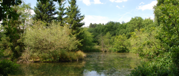
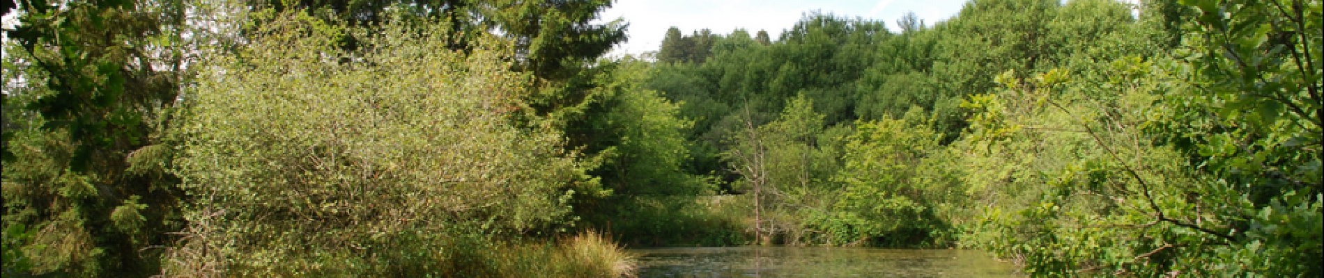
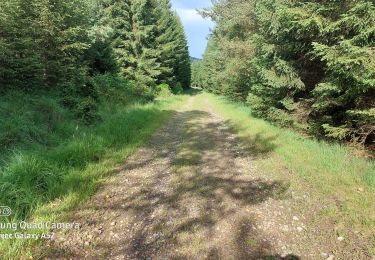
Une belle petite promenade, toutefois non accessible aux poussettes. Elle se déroule principalement à ciel ouvert, et traverse la réserve naturelle d'Orti (agréable endroit où pique-niquer en bordure de l'étang).
Itinéraire repris sur la carte IGN des promenades de Sainte-Ode (1:25 000) vendue à 8,00 €.
Concepteur: Syndicat d'Initiative de Sainte-Ode.
 - Photo 1")
 - Photo 2")

Stappen

Stappen

Stappen

Stappen

Stappen

Stappen
Stappen

Stappen
Te voet
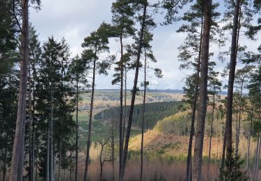
Une belle balade
belle promenzde variée. il y a deux erreurs dans le dernier tier. un chemin inexistant indiqué dans un champ, il faut continuer tout droit puis tourner à gauche. Ensuite, 500m plus loins, erreur de traçage gps sur l appli qui nous oblige à couper à travers bois vers les étangs.