


65 km | 78 km-effort
Randonnées de la Grande Forêt de Saint-Hubert GUIDE+


Gratisgps-wandelapplicatie
 SityTrail
IGN / Geografische instituten
SityTrail World
De wereld gaat voor u open
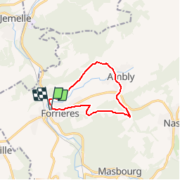
Tocht Stappen van 8,6 km beschikbaar op Wallonië, Luxemburg, Nassogne. Deze tocht wordt voorgesteld door La Grande Forêt de Saint-Hubert.
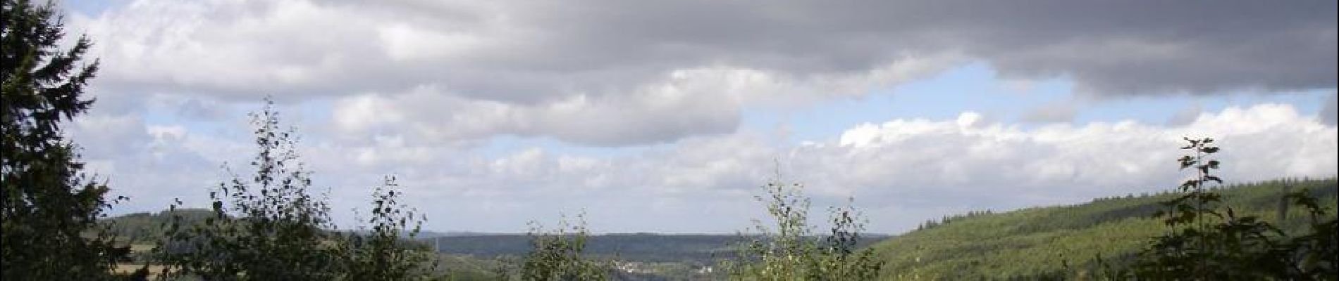
Dit parcours loopt richting Ambly waar zich de ambachtelijke brouwerij 'La Saint-Monon' bevindt. Deze wandeling is voor iedereen geschikt en schenkt prachtige uitzichten over de dorpen Forrières et Ambly.
Uittreksel uit de wandelkaart van de gemeente Nassogne (23 bewegwijzerde wandelingen - topografische kaart 1/25.000 - 7,00 €) verkrijgbaar bij het informatiekantoor van Nassogne (Office Communal du Tourisme de l'entité de Nassogne) of bij het Maison du Tourisme du Pays de Marche & Nassogne.
Ontwerper: Office Communal du Tourisme de l'entité de Nassogne - Rue de Lahaut, 3 - 6950 Nassogne - 32(0)84/22.15.58 - office.tourisme@nassogne.be.
 - Photo 1")
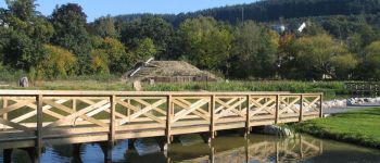
 - Photo 2")
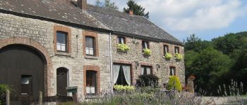
 - Photo 3")
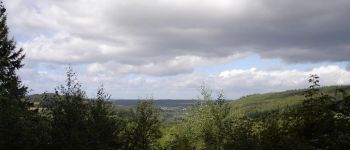
 - Photo 4")
 - Photo 5")
 - Photo 6")
 - Photo 7")
 - Photo 8")
 - Photo 9")

Motor

Stappen

Stappen

Stappen

Stappen

Motor

Stappen

Stappen

Mountainbike