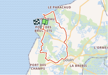
![](/images/other/stat-length.png)
![Tocht Hybride fiets Bouin - Bouin-Boucle marais et digues - Photo](https://media.geolcdn.com/t/1900/400/76a8df03-2986-44c5-9c04-b5c448f6a754.jpg&format=pjpeg&maxdim=2)
Bouin-Boucle marais et digues
Sigmut
Gebruiker
![Lengte](/images/other/stat-length.png)
![Max. hoogte](https://static1.geolcdn.com/siteimages/upload/files/1508320355ic_sort_altitude_max_24dp.png)
![Positief hoogteverschil](https://static1.geolcdn.com/siteimages/upload/files/1508320355ic_sort_den_pos_24dp.png)
![Km-Effort](/images/other/stat-length.png)
![Min. hoogte](https://static1.geolcdn.com/siteimages/upload/files/1508320355ic_sort_altitude_min_24dp.png)
![Negatief hoogteverschil](https://static1.geolcdn.com/siteimages/upload/files/1508320355ic_sort_den_neg_24dp.png)
![Boucle](https://static1.geolcdn.com/siteimages/upload/files/16400158638029165_repeat_loop_refresh_sync_direction_icon.png)
![Hybride fiets](https://static1.geolcdn.com/sitytour/trail-icons/203.png)
1h29
Moeilijkheid : Heel gemakkelijk
![Scan deze QR-code om de tocht te openen in de SityTrail-applicatie](https://capi.geolives.com/qq0zvz2zws4bq2lad0pu/sitytour/trails/3336721/qr.png?size=200)
Gratisgps-wandelapplicatie
Over ons
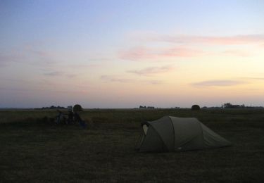
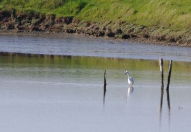
Tocht Hybride fiets van 14,2 km beschikbaar op Pays de la Loire, Vendée, Bouin. Deze tocht wordt voorgesteld door Sigmut.
Beschrijving
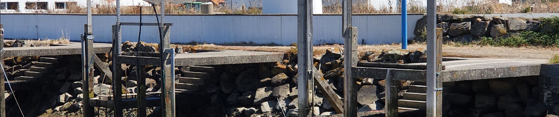
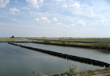
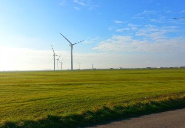
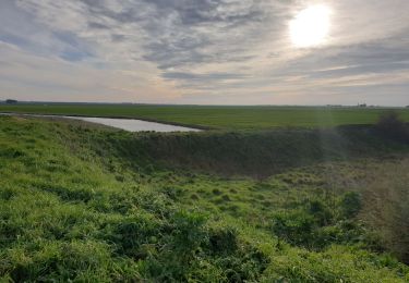
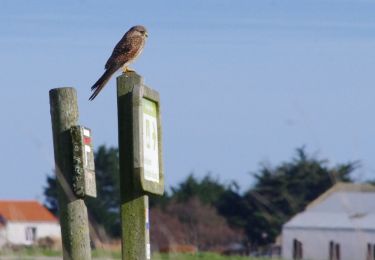
Balade vélo très agréable avec des paysages diverses.
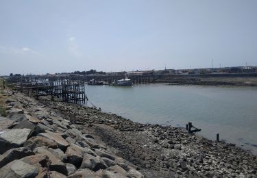
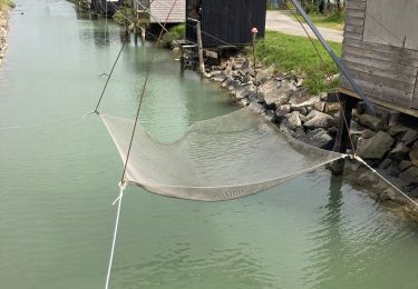
Réserver absolument un repas à midi au restaurant et bar à huîtres "Gratt'huîtres". Tout est local et délicieux.
Faire ses courses à "La Rose des Vents" pour acheter ses huitres fraiches et locales ainsi que le sel de Bouin beaucoup moins cher et moins pollué qu'à Noirmoitier envahit par la bagnole.
Plaatsbepaling
Opmerkingen
Wandeltochten in de omgeving
![Tocht Fiets Bouin - bouin - port des brochets - Photo](https://media.geolcdn.com/t/375/260/ext.jpg?maxdim=2&url=https%3A%2F%2Fstatic1.geolcdn.com%2Fsiteimages%2Fupload%2Ffiles%2F1524743154velo.jpg)
![Fiets Fiets](https://static1.geolcdn.com/sitytour/trail-icons/200.png)
Fiets
![](/images/other/stat-length.png)
![](https://static1.geolcdn.com/siteimages/upload/files/16400158638029165_repeat_loop_refresh_sync_direction_icon.png)
![Tocht Te voet Villeneuve-en-Retz - PDIPR:1224 - Photo](https://media.geolcdn.com/t/375/260/1a57d417-9132-4bf4-870f-21ad0636d79e.jpeg&format=jpg&maxdim=2)
![Te voet Te voet](https://static1.geolcdn.com/sitytour/trail-icons/100.png)
Te voet
![](/images/other/stat-length.png)
![](https://static1.geolcdn.com/siteimages/upload/files/16400158638029165_repeat_loop_refresh_sync_direction_icon.png)
![Tocht Te voet Bouin - Vers la Mer et les Digues - Photo](https://media.geolcdn.com/t/375/260/4ef582e9-f45f-4cb1-9a18-91197588b89d.jpeg&format=jpg&maxdim=2)
![Te voet Te voet](https://static1.geolcdn.com/sitytour/trail-icons/100.png)
Te voet
![](/images/other/stat-length.png)
![](https://static1.geolcdn.com/siteimages/upload/files/16400158638029165_repeat_loop_refresh_sync_direction_icon.png)
![Tocht Te voet Bouin - Chemin des Oiseaux - Photo](https://media.geolcdn.com/t/375/260/afc4cdca-c735-43d5-92c0-996474eda780.jpeg&format=jpg&maxdim=2)
![Te voet Te voet](https://static1.geolcdn.com/sitytour/trail-icons/100.png)
Te voet
![](/images/other/stat-length.png)
![](https://static1.geolcdn.com/siteimages/upload/files/16400158638029165_repeat_loop_refresh_sync_direction_icon.png)
![Tocht Stappen Bouin - Bouin_Les écluses - Photo](https://media.geolcdn.com/t/375/260/ext.jpg?maxdim=2&url=https%3A%2F%2Fservices.sitytrail.com%2FGeolivesWS%2FDownloadMedia.ashx%3FTrailID%3D516620%26Media%3D8d4e5f51-9594-4d47-9f19-d8403743d274.JPG)
![Stappen Stappen](https://static1.geolcdn.com/sitytour/trail-icons/101.png)
Stappen
![](/images/other/stat-length.png)
![](https://static1.geolcdn.com/siteimages/upload/files/16400158638029165_repeat_loop_refresh_sync_direction_icon.png)
![Tocht Wegfiets Les Moutiers-en-Retz - 2023-06-25 port du collet -port des champs - port du bec A.R - Photo](https://media.geolcdn.com/t/375/260/239f987b-fb5d-4c97-a07a-46e1d6ee0353.jpg&format=jpg&maxdim=2)
![Wegfiets Wegfiets](https://static1.geolcdn.com/sitytour/trail-icons/201.png)
Wegfiets
![](/images/other/stat-length.png)
![](https://static1.geolcdn.com/siteimages/upload/files/16400158638029165_repeat_loop_refresh_sync_direction_icon.png)
![Tocht Stappen Bouin - Bouin - Photo](https://media.geolcdn.com/t/375/260/1b7acdf2-1617-4b0e-aa20-13ce31269f6d.jpg&format=jpg&maxdim=2)
![Stappen Stappen](https://static1.geolcdn.com/sitytour/trail-icons/101.png)
![Tocht Stappen Les Moutiers-en-Retz - Marais de Bouin et Polder de la Coupelasse - Photo](https://media.geolcdn.com/t/375/260/f081bbb9-084c-4842-a239-92edeaf6330f.jpg&format=jpg&maxdim=2)
![Stappen Stappen](https://static1.geolcdn.com/sitytour/trail-icons/101.png)
Stappen
![](/images/other/stat-length.png)
![](https://static1.geolcdn.com/siteimages/upload/files/16400158638029165_repeat_loop_refresh_sync_direction_icon.png)
![Tocht Stappen Bouin - Bouin_Le port des champs - Photo](https://media.geolcdn.com/t/375/260/ext.jpg?maxdim=2&url=https%3A%2F%2Fservices.sitytrail.com%2FGeolivesWS%2FDownloadMedia.ashx%3FTrailID%3D517646%26Media%3Dd8693f7d-a190-4a8e-893c-e13ff6aed3e7.JPG)
![Stappen Stappen](https://static1.geolcdn.com/sitytour/trail-icons/101.png)
Stappen
![](/images/other/stat-length.png)
![](https://static1.geolcdn.com/siteimages/upload/files/16400158638029165_repeat_loop_refresh_sync_direction_icon.png)