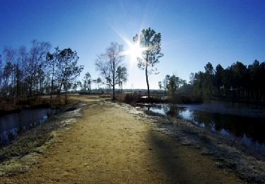
39 km | 44 km-effort
montendre , chepniers
flo65
Gebruiker
Lengte
40 km
Max. hoogte
126 m
Positief hoogteverschil
341 m
Km-Effort
45 km
Min. hoogte
56 m
Negatief hoogteverschil
322 m
Boucle
Neen
Datum van aanmaak :
2022-07-30 09:01:51.568
Laatste wijziging :
2022-07-30 13:26:09.24
4h23
Moeilijkheid : Zeer moeilijk
Gratisgps-wandelapplicatie
Over ons
Tocht Mountainbike van 40 km beschikbaar op Nieuw-Aquitanië, Charente-Maritime, Montendre. Deze tocht wordt voorgesteld door flo65.
Beschrijving
VTT chemins assez technique
Plaatsbepaling
Land:
France
Regio :
Nieuw-Aquitanië
Departement/Provincie :
Charente-Maritime
Gemeente :
Montendre
Locatie:
Unknown
Vertrek:(Dec)
Vertrek:(UTM)
702692 ; 5018057 (30T) N.
Opmerkingen
Wandeltochten in de omgeving
Randonnée Montendre 2012
Mountainbike
Medium
Montendre,
Nieuw-Aquitanië,
Charente-Maritime,
France
2h 30min
Ja
Chardes
Stappen
Gemakkelijk
Montendre,
Nieuw-Aquitanië,
Charente-Maritime,
France
10,4 km | 11,9 km-effort
2h 41min
Ja
Croix Gente 10 km
Stappen
Gemakkelijk
Montendre,
Nieuw-Aquitanië,
Charente-Maritime,
France
9,5 km | 11 km-effort
2h 29min
Neen
Croix Gente 12 km
Stappen
Gemakkelijk
Montendre,
Nieuw-Aquitanië,
Charente-Maritime,
France
11,6 km | 13,2 km-effort
3h 0min
Ja
Pommiers Moulons / Soumoulins
Stappen
Medium
Pommiers-Moulons,
Nieuw-Aquitanië,
Charente-Maritime,
France
10,2 km | 12,5 km-effort
2h 42min
Ja
Donnezac V2
Stappen
Gemakkelijk
Donnezac,
Nieuw-Aquitanië,
Gironde,
France
18,5 km | 20 km-effort
4h 31min
Ja
Chardes
Stappen
Heel gemakkelijk
Montendre,
Nieuw-Aquitanië,
Charente-Maritime,
France
9,7 km | 11,1 km-effort
2h 22min
Ja
mt02
Stappen
Medium
Montendre,
Nieuw-Aquitanië,
Charente-Maritime,
France
5,7 km | 6,6 km-effort
1h 37min
Ja
montendre
Stappen
Gemakkelijk
Montendre,
Nieuw-Aquitanië,
Charente-Maritime,
France
2,1 km | 2,3 km-effort
51min
Ja