


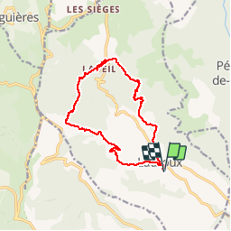

9,3 km | 12,5 km-effort

Gebruiker


Gratisgps-wandelapplicatie
 SityTrail
IGN / Geografische instituten
SityTrail World
De wereld gaat voor u open
Tocht Stappen van 15,5 km beschikbaar op Occitanië, Hérault, Lauroux. Deze tocht wordt voorgesteld door slm3005.
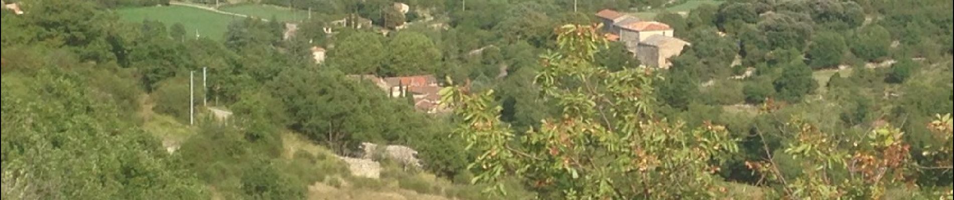
Départ très physique ( dénivelé important). Visite de la grotte, pas nécessaire. ( prix élevé ) et peu de chose à voir. Retour entre forêt, roches dolomites.


Noords wandelen

Noords wandelen

Stappen

Stappen

Stappen
Stappen

Stappen

Stappen

Stappen
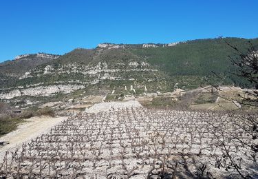
tres belle rando