


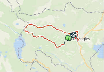

13,3 km | 19,3 km-effort


Gebruiker GUIDE


Gratisgps-wandelapplicatie
 SityTrail
IGN / Geografische instituten
SityTrail World
De wereld gaat voor u open
Tocht Stappen van 14,5 km beschikbaar op Occitanië, Pyrénées-Orientales, Les Angles. Deze tocht wordt voorgesteld door nadinebondoux.
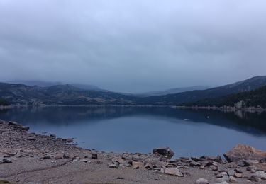
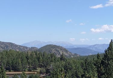
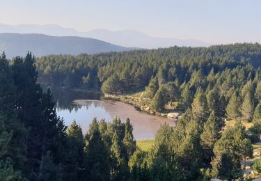
montée cabine les Pelerins roc d'Aude Mont Llaret , lac de la Balmette retour station
Eviter grosse chaleur


Stappen

Sneeuwschoenen

Stappen

Stappen
Stappen

Stappen
Stappen

Stappen
Stappen