


21 km | 24 km-effort


Gebruiker


Gratisgps-wandelapplicatie
 SityTrail
IGN / Geografische instituten
SityTrail World
De wereld gaat voor u open
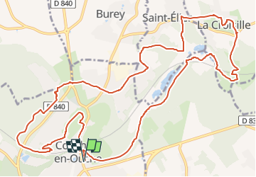
Tocht Stappen van 15 km beschikbaar op Normandië, Eure, Conches-en-Ouche. Deze tocht wordt voorgesteld door Marie-Claire-mcp.
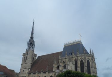
Depuis la place Aristide Briand, rejoindre la square, le traverser, passer devant le donjon et contourner par la droite de la mairie
Stappen

Stappen
Stappen
Stappen

Te voet

Mountainbike
Mountainbike
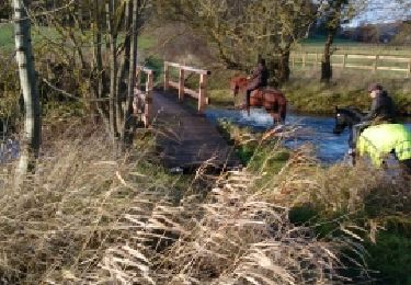
Paard
Stappen