


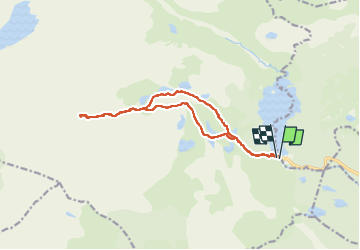

13,3 km | 19,3 km-effort

Gebruiker GUIDE


Gratisgps-wandelapplicatie
 SityTrail
IGN / Geografische instituten
SityTrail World
De wereld gaat voor u open
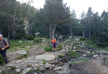
Tocht Stappen van 14,8 km beschikbaar op Occitanië, Pyrénées-Orientales, Angoustrine-Villeneuve-des-Escaldes. Deze tocht wordt voorgesteld door toutankhcarton.
Point culminant du département des Pyrénées Orientales.
Ascension par les Bouillouses. La dernière partie de l’ascension est raide, et nécessite de poser les mains.
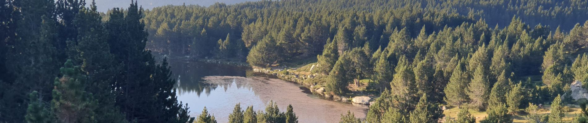
 au départ des Bouillouses - Photo 1")
 au départ des Bouillouses - Photo 2")
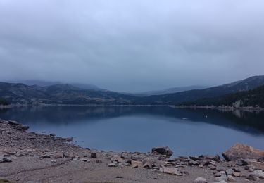
 au départ des Bouillouses - Photo 3")
 au départ des Bouillouses - Photo 4")
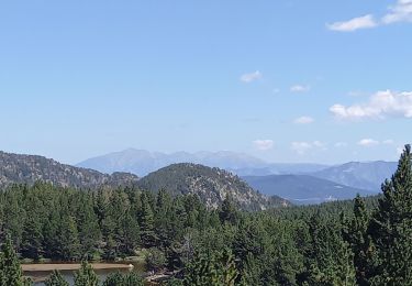
 au départ des Bouillouses - Photo 5")
 au départ des Bouillouses - Photo 6")
 au départ des Bouillouses - Photo 7")
 au départ des Bouillouses - Photo 8")
 au départ des Bouillouses - Photo 9")
 au départ des Bouillouses - Photo 10")
 au départ des Bouillouses - Photo 11")
 au départ des Bouillouses - Photo 12")
 au départ des Bouillouses - Photo 13")

Stappen

Stappen

Stappen
Stappen
Stappen

Stappen

Noords wandelen

Stappen
Stappen