Tocht Hybride fiets Le Boulou - Autour du Boulou (66) - Photo
 toutankhcarton
toutankhcarton

Gebruiker GUIDE

© OpenStreetMap contributors
Lengte
Lengte
17 km
Max. hoogte
Max. hoogte
136 m
Positief hoogteverschil
184 m
Km-Effort
Km-Effort  
19,5 km
Min. hoogte
Min. hoogte
70 m
Negatief hoogteverschil
187 m
Boucle
Boucle
Neen
Datum van aanmaak :
2022-07-14 13:30:30.462
Laatste wijziging :
2022-07-14 15:42:12.607

(0 Bericht)

Hybride fiets
Hybride fiets
1h54
Moeilijkheid : Gemakkelijk

Scan deze QR-code om de tocht te openen in de SityTrail-applicatie

Gratisgps-wandelapplicatie

Logo SityTrail SityTrail

IGN / Geografische instituten

SityTrail uit de App Store downloaden SityTrail uit Google Play downloaden

Logo SityTrail SityTrail World

De wereld gaat voor u open

SityTrail uit de App Store downloaden SityTrail uit Google Play downloaden SityTrail op Huawei AppGallery downloaden

Over ons

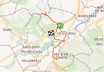
Tocht Hybride fiets van 17 km beschikbaar op Occitanië, Pyrénées-Orientales, Le Boulou. Deze tocht wordt voorgesteld door toutankhcarton.

Beschrijving

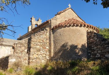
Le Boulou - St Martin de Fenollar
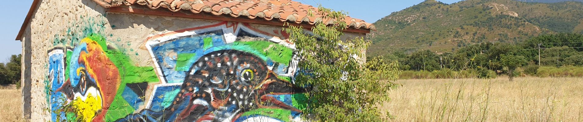
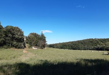
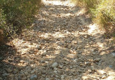
Hoogteprofiel

Foto's

Plaatsbepaling

Land:
France
Regio :
Occitanië
Departement/Provincie :
Pyrénées-Orientales
Gemeente :
Le Boulou
Locatie:
Unknown
Vertrek:(UTM)
485419 ; 4708271 (31T) N.

Wandeltochten in de omgeving

Tocht Stappen Le Boulou - rando de la bataille du Boulou - Photo
Stappen
GUIDE
stef789

Stappen

Zeer moeilijk
(1)
Le Boulou, Occitanië, Pyrénées-Orientales, France
8,4 km | 10,5 km-effort
3h 27min
Ja
Tocht Stappen Les Cluses - LES CLUSES 66 - Photo
Stappen
jeff66

Stappen

Gemakkelijk
(9)
Les Cluses, Occitanië, Pyrénées-Orientales, France
9,4 km | 12,8 km-effort
1h 50min
Ja
Tocht Stappen Vivès - Le sentier de Vinés - Photo
Stappen
bernarb

Stappen

Gemakkelijk
(2)
Vivès, Occitanië, Pyrénées-Orientales, France
9,9 km | 13 km-effort
2h 54min
Ja
Tocht Stappen Saint-Jean-Pla-de-Corts - 66 ST-JEAN-PLA-DE-CORTS, promenade autour du Tech, jusqu'au BOULOU  - Photo
Stappen
jeff66

Stappen

Gemakkelijk
(1)
Saint-Jean-Pla-de-Corts, Occitanië, Pyrénées-Orientales, France
7,9 km | 8,8 km-effort
1h 18min
Ja
Tocht Stappen Montesquieu-des-Albères - MONTESQUIEU-DES-ALBERES 66 - Les Agouillous - les chemins de l'eau dans les Albères - Photo
Stappen
jeff66

Stappen

Medium
(1)
Montesquieu-des-Albères, Occitanië, Pyrénées-Orientales, France
12,7 km | 13,9 km-effort
2h 16min
Ja
Tocht Stappen Le Boulou - LES THERMES DU BOULOU - 66 - Albera viva - PUIG de l'Estella - Photo
Stappen
jeff66

Stappen

Medium
(2)
Le Boulou, Occitanië, Pyrénées-Orientales, France
7,3 km | 11,4 km-effort
1h 32min
Ja
Tocht Stappen Vivès - Vives llauro  - Photo
Stappen
GUIDE
antignacs

Stappen

Heel gemakkelijk
Vivès, Occitanië, Pyrénées-Orientales, France
8,2 km | 11,7 km-effort
2h 15min
Ja
Tocht Stappen Le Boulou - Bataille du Boulou (1793 - 1794) - Photo
Stappen
GUIDE
toutankhcarton

Stappen

Heel gemakkelijk
Le Boulou, Occitanië, Pyrénées-Orientales, France
10,4 km | 13,2 km-effort
1h 57min
Ja
Tocht Stappen Le Boulou - Pic Estelle (377m) - Le Boulou - Pyrénées orientales (66) - Photo
Stappen
GUIDE
toutankhcarton

Stappen

Heel gemakkelijk
Le Boulou, Occitanië, Pyrénées-Orientales, France
10,9 km | 15,9 km-effort
2h 19min
Ja


Sluiten
Mijn abonnementen