


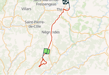

8,4 km | 10,4 km-effort


Gebruiker


Gratisgps-wandelapplicatie
 SityTrail
IGN / Geografische instituten
SityTrail World
De wereld gaat voor u open
Tocht Stappen van 37 km beschikbaar op Nieuw-Aquitanië, Dordogne, Sorges et Ligueux en Périgord. Deze tocht wordt voorgesteld door Patricew.
belle balade de 12,5 km
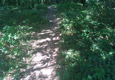
Mixte de route et forêt
a éviter par temps très chaud
Stappen

Stappen
Stappen

Noords wandelen
Noords wandelen
Noords wandelen
Noords wandelen
Noords wandelen
Stappen