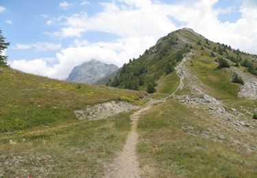
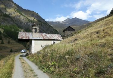
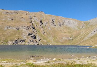
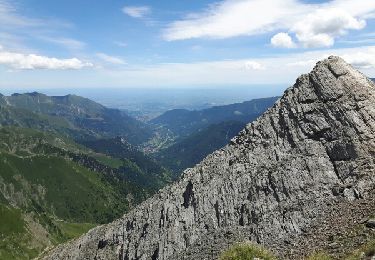
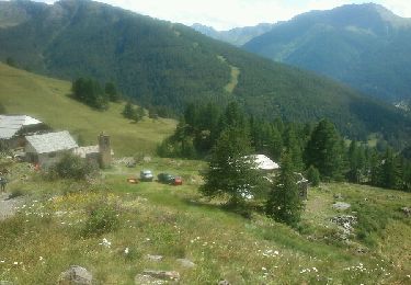
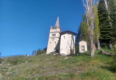
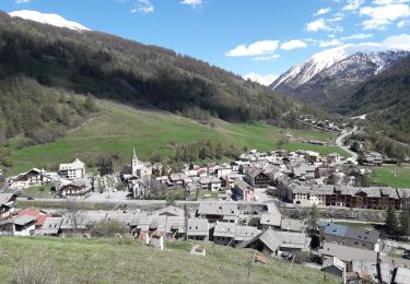
Tocht Stappen Abriès-Ristolas - col d'Urine - Photo
 stelh
stelh

Gebruiker

© OpenStreetMap contributors
Lengte
Lengte
13 km
Max. hoogte
Max. hoogte
2531 m
Positief hoogteverschil
858 m
Km-Effort
Km-Effort  
24 km
Min. hoogte
Min. hoogte
1853 m
Negatief hoogteverschil
859 m
Boucle
Boucle
Ja
Datum van aanmaak :
2014-12-10 00:00:00.0
Laatste wijziging :
2014-12-10 00:00:00.0

(0 Bericht)

Stappen
Stappen
5h07
Moeilijkheid : Medium

Scan deze QR-code om de tocht te openen in de SityTrail-applicatie

Gratisgps-wandelapplicatie

Logo SityTrail SityTrail

IGN / Geografische instituten

SityTrail uit de App Store downloaden SityTrail uit Google Play downloaden

Logo SityTrail SityTrail World

De wereld gaat voor u open

SityTrail uit de App Store downloaden SityTrail uit Google Play downloaden SityTrail op Huawei AppGallery downloaden

Over ons

Tocht Stappen van 13 km beschikbaar op Provence-Alpes-Côte d'Azur, Hautes-Alpes, Abriès-Ristolas. Deze tocht wordt voorgesteld door stelh.

Beschrijving

Jolie randonnée pas trop fréquentée. Assez facile, mise à part une pente assez rude de Valpreyvère jusqu'à l'arrivée dans le vallon d'Urine. La montée est ensuite régulière et sans difficulté jusqu'au col d'Urine. Le retour se fait en boucle par le "près du vallon" et les plus courageux pourront remonter à la "Collette de Gilly" d'où la vue sur la vallée du Guil est remarquable.

Hoogteprofiel

Plaatsbepaling

Land:
France
Regio :
Provence-Alpes-Côte d'Azur
Departement/Provincie :
Hautes-Alpes
Gemeente :
Abriès-Ristolas
Locatie:
Abriès
Vertrek:(Dec)
Vertrek:(UTM)
339291 ; 4964084 (32T) N.

Wandeltochten in de omgeving

Tocht Stappen Abriès-Ristolas - collette et crête de Gilly - Photo
Stappen
GUIDE
amiral13

Stappen

Gemakkelijk
(1)
Abriès-Ristolas, Provence-Alpes-Côte d'Azur, Hautes-Alpes, France
6,5 km | 13,7 km-effort
3h 51min
Ja
Tocht Stappen Abriès-Ristolas - le Bric Froid  - Photo
Stappen
GUIDE
amiral13

Stappen

Moeilijk
Abriès-Ristolas, Provence-Alpes-Côte d'Azur, Hautes-Alpes, France
16,5 km | 38 km-effort
5h 54min
Ja
Tocht Stappen Abriès-Ristolas - Abriès - Aiguilles - Photo
Stappen
GUIDE
romanceline

Stappen

Moeilijk
Abriès-Ristolas, Provence-Alpes-Côte d'Azur, Hautes-Alpes, France
16,9 km | 32 km-effort
7h 19min
Neen
Tocht Stappen Abriès-Ristolas - Abriès - Aiguilles - Photo
Stappen
GUIDE
romanceline

Stappen

Moeilijk
Abriès-Ristolas, Provence-Alpes-Côte d'Azur, Hautes-Alpes, France
16,9 km | 32 km-effort
7h 19min
Neen
Tocht Stappen Abriès-Ristolas - col d'Urine et Maït d'Amunt - Photo
Stappen
GUIDE
amiral13

Stappen

Medium
Abriès-Ristolas, Provence-Alpes-Côte d'Azur, Hautes-Alpes, France
13,2 km | 26 km-effort
5h 56min
Ja
Tocht Stappen Abriès-Ristolas - Pré Roubaud - Photo
Stappen
pb07

Stappen

Gemakkelijk
(1)
Abriès-Ristolas, Provence-Alpes-Côte d'Azur, Hautes-Alpes, France
7,3 km | 12,4 km-effort
2h 46min
Ja
Tocht Stappen Abriès-Ristolas - Le Bois Noir - Photo
Stappen
patrando49

Stappen

Gemakkelijk
(2)
Abriès-Ristolas, Provence-Alpes-Côte d'Azur, Hautes-Alpes, France
4,5 km | 6,8 km-effort
2h 0min
Ja
Tocht Stappen Abriès-Ristolas - Malrif à partir de Abries - Photo
Stappen
Sorriaux

Stappen

Medium
Abriès-Ristolas, Provence-Alpes-Côte d'Azur, Hautes-Alpes, France
9,8 km | 17,1 km-effort
3h 36min
Ja
Tocht Stappen Abriès-Ristolas - Queyras 08 - Ristolas - Abriès - Photo
Stappen
uru2010

Stappen

Zeer moeilijk
Abriès-Ristolas, Provence-Alpes-Côte d'Azur, Hautes-Alpes, France
16,5 km | 28 km-effort
8h 2min
Neen


Sluiten
Mijn abonnementen