


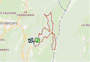

9,1 km | 13,8 km-effort

Gebruiker


Gratisgps-wandelapplicatie
 SityTrail
IGN / Geografische instituten
SityTrail World
De wereld gaat voor u open
Tocht Noords wandelen van 9,3 km beschikbaar op Auvergne-Rhône-Alpes, Isère, Lans-en-Vercors. Deze tocht wordt voorgesteld door patjobou.
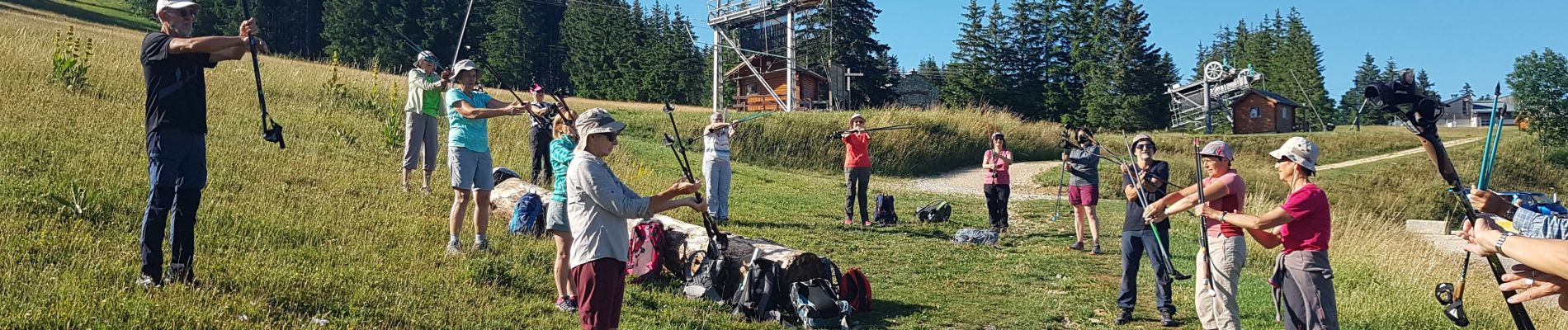
Sortie MN de fin de saison sur la journée. Bel itinéraire adapté à la Marche Nordique. Beau paysages, ambiance conviviale et festive! Une très belle journée !


Noords wandelen

Stappen

Stappen

Sneeuwschoenen

Stappen

Stappen

Stappen

Sneeuwschoenen

Stappen