


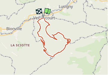


8,7 km | 13,9 km-effort

Gebruiker


Gratisgps-wandelapplicatie
 SityTrail
IGN / Geografische instituten
SityTrail World
De wereld gaat voor u open
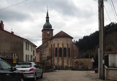
Tocht Stappen van 16,3 km beschikbaar op Grand Est, Vogezen, Vexaincourt. Deze tocht wordt voorgesteld door Bart2015.
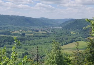
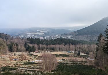
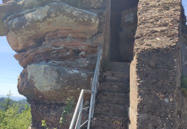
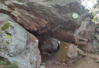
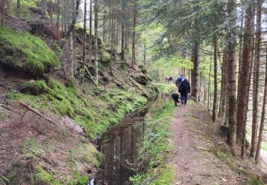
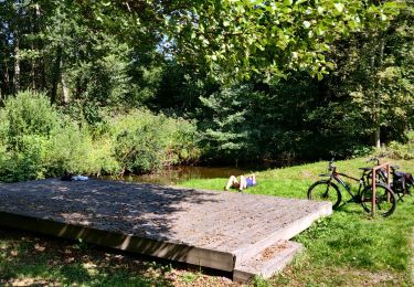
Belle randonnée pour rejoindre le beau lac de la Maix, l'un des derniers lacs naturels de formation glaciaire du massif vosgien, plus confidentiel depuis que les voitures ne peuvent y accéder. A visiter également sa chapelle où les enfants n'oublieront pas de faire sonner la cloche ... Poursuite de la rando pour découvrir quelques pierres à cupules et une roche à colonnes et un dolmen ...
Bonne rando ...


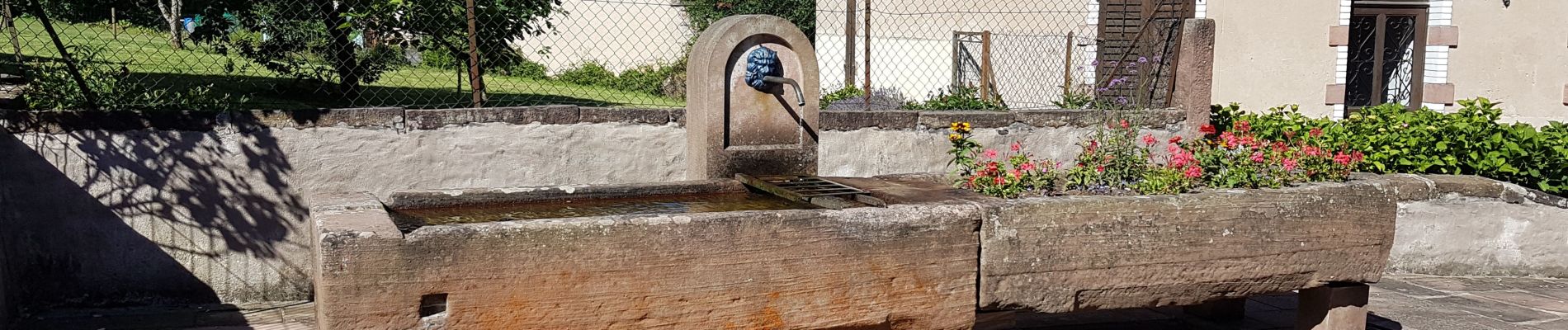
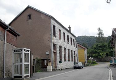
34 fotos in totaal. Klik op een foto om ze allemaal in de galerij weer te geven.
Te voet
Stappen
Stappen
Stappen
Stappen
Stappen
Te voet

Paardrijden
Mountainbike