


7,4 km | 10,2 km-effort


Gebruiker


Gratisgps-wandelapplicatie
 SityTrail
IGN / Geografische instituten
SityTrail World
De wereld gaat voor u open
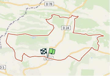
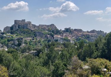
Tocht Mountainbike van 13,9 km beschikbaar op Provence-Alpes-Côte d'Azur, Bouches-du-Rhône, Mouriès. Deze tocht wordt voorgesteld door Vin100@33.
Petite balade, assez simple mais surtout très jolie.
traversée golf, terrain moto cross, auquacity naturel pour ceux que ça tenterait.

Stappen
Stappen
Stappen
Stappen
Stappen


sport
Stappen
Paardrijden
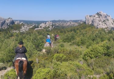
Paardrijden