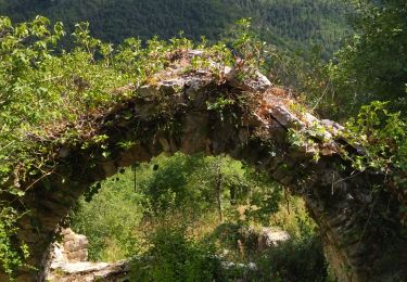
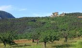
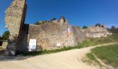
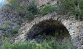
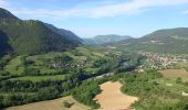
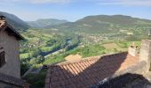
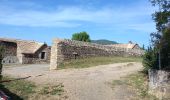
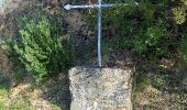
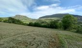
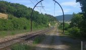
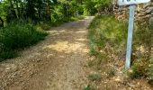
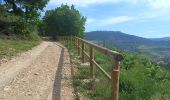
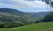
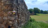
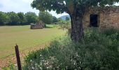
Tocht Stappen Mostuéjouls - J7: Mostuéjouls-Millau-150522 - Photo

J7: Mostuéjouls-Millau-150522

 canardDenis
canardDenis

Gebruiker

© OpenStreetMap contributors
Lengte
Lengte
22 km
Max. hoogte
Max. hoogte
626 m
Positief hoogteverschil
653 m
Km-Effort
Km-Effort  
31 km
Min. hoogte
Min. hoogte
355 m
Negatief hoogteverschil
669 m
Boucle
Boucle
Neen
Datum van aanmaak :
2022-06-27 09:35:31.694
Laatste wijziging :
2022-06-29 13:14:00.363

(0 Bericht)

Stappen
Stappen
6h57
Moeilijkheid : Medium

Scan deze QR-code om de tocht te openen in de SityTrail-applicatie

Gratisgps-wandelapplicatie

Logo SityTrail SityTrail

IGN / Geografische instituten

SityTrail uit de App Store downloaden SityTrail uit Google Play downloaden

Logo SityTrail SityTrail World

De wereld gaat voor u open

SityTrail uit de App Store downloaden SityTrail uit Google Play downloaden SityTrail op Huawei AppGallery downloaden

Over ons

Tocht Stappen van 22 km beschikbaar op Occitanië, Aveyron, Mostuéjouls. Deze tocht wordt voorgesteld door canardDenis.

Beschrijving

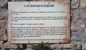
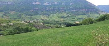
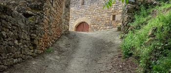
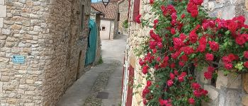
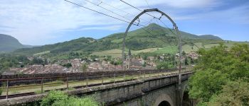
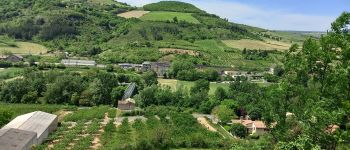
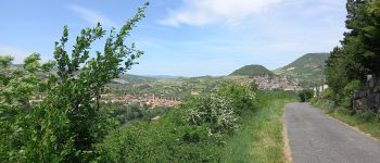
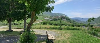
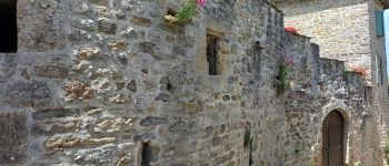
Pour cette septième étape, on s'écarte des circuits plus fréquentés. De la Calquière-Mostuéjouls, visitez la forteresse de Peyrelevade, Compeyre, Aiguessac, passez le Tarn à Paulhe et continuez par Carbassas jusqu'à Millau

Hoogteprofiel

Foto's

45 fotos in totaal. Klik op een foto om ze allemaal in de galerij weer te geven.

POI's

POI Rivière-sur-Tarn - quitter route à droite  - Photo
canardDenis
RIVIÈRE-SUR-TARN 
POI Rivière-sur-Tarn - route raide  goudron et château  - Photo
canardDenis
POI Rivière-sur-Tarn - sentier vers Namaste puis continuer  - Photo
canardDenis
POI Rivière-sur-Tarn - croix de Louradou descendre à gauche  - Photo
canardDenis
POI Rivière-sur-Tarn - route en descente gauche marquage pourri  - Photo
canardDenis
POI Rivière-sur-Tarn - gde route à droite  - Photo
canardDenis
RIVIÈRE-SUR-TARN 
POI Rivière-sur-Tarn - tourner à droite rur du Palhie  - Photo
canardDenis
POI Rivière-sur-Tarn - quitter route pour piste à gauche  - Photo
canardDenis
POI Rivière-sur-Tarn - laisser sentier à droite  - Photo
canardDenis
RIVIÈRE-SUR-TARN 
POI Rivière-sur-Tarn - carrefour aller à droite et traverser ligne chemin - Photo
canardDenis
POI Compeyre - balisage GR - Photo
canardDenis
COMPEYRE 
POI Compeyre - Les Combes - Photo
canardDenis
COMPEYRE 
POI Compeyre - jonction goudron continuer GR tout droit  - Photo
canardDenis
POI Compeyre - attention sentier subtil GR à gauche  - Photo
canardDenis
POI Compeyre - croisé piste tout droit  - Photo
canardDenis
POI Compeyre - rejoint route  dans hameau prendre à gauche  - Photo
canardDenis
POI Compeyre - passage à niveau  - Photo
canardDenis
POI Aguessac - pont - Photo
canardDenis
AGUESSAC 
POI Paulhe - recoupé goudron  - Photo
canardDenis
POI Paulhe - cimetière Paulhe-Carbassas - Photo
canardDenis
POI Paulhe - attention tout droit  - Photo
canardDenis
POI Millau - croisement pistes - Photo
canardDenis
POI Millau - pris sentier à droite  - Photo
canardDenis
POI Millau - Millau-limite commune - Photo
canardDenis
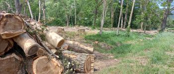
POI Millau - Déboisage - Photo
canardDenis
MILLAU 
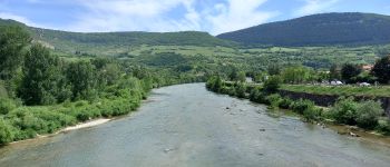
POI Millau - Le pont  - Photo
canardDenis
MILLAU 

Plaatsbepaling

Land:
France
Regio :
Occitanië
Departement/Provincie :
Aveyron
Gemeente :
Mostuéjouls
Locatie:
Unknown
Vertrek:(Dec)
Vertrek:(UTM)
514167 ; 4894212 (31T) N.

Wandeltochten in de omgeving

Tocht Stappen Le Rozier - 12 vase de Sèvres Chine ch. brunet - Photo
Stappen
GUIDE
randodyssée

Stappen

Medium
(1)
Le Rozier, Occitanië, Lozère, France
10,1 km | 18,8 km-effort
5h 40min
Ja
Tocht Stappen Mostuéjouls - Cirque de Saint Marcellin - Mostuéjouls - Liaucous - Photo
Stappen
tracegps

Stappen

Medium
(1)
Mostuéjouls, Occitanië, Aveyron, France
15,4 km | 24 km-effort
5h 0min
Ja
Tocht Stappen Le Rozier - Causse et gorges au pays des vautours  - Photo
Stappen
GUIDE
nadinebondoux

Stappen

Moeilijk
Le Rozier, Occitanië, Lozère, France
27 km | 40 km-effort
7h 48min
Neen
Tocht Stappen Rivière-sur-Tarn - Grands Causses - Peyrelade - Chateau-vignes-forêt - 2016 09 09 - Photo
Stappen
GUIDE
Orcal37

Stappen

Medium
Rivière-sur-Tarn, Occitanië, Aveyron, France
9,9 km | 15,2 km-effort
3h 30min
Ja
Tocht Stappen Peyreleau - Grands Causses - Peyreleau - Corniches du Causse Noir- 2016 09 06 - Photo
Stappen
GUIDE
Orcal37

Stappen

Moeilijk
Peyreleau, Occitanië, Aveyron, France
12,5 km | 21 km-effort
6h 40min
Ja
Tocht Stappen Mostuéjouls - Grands Causses - Liaucous - St-Marcellin - 2016 07 04 - 680m 14,3km - Photo
Stappen
GUIDE
Orcal37

Stappen

Medium
Mostuéjouls, Occitanië, Aveyron, France
14,3 km | 21 km-effort
4h 50min
Ja
Tocht Stappen Saint-Pierre-des-Tripiers - Les corniches du Méjean - Photo
Stappen
ZURMELY

Stappen

Medium
(3)
Saint-Pierre-des-Tripiers, Occitanië, Lozère, France
6 km | 9,5 km-effort
2h 31min
Ja
Tocht Stappen Peyreleau - Grands Causses - Gorges de la Jonte - Peyreleau - Photo
Stappen
GUIDE
Orcal37

Stappen

Gemakkelijk
Peyreleau, Occitanië, Aveyron, France
9 km | 12,9 km-effort
3h 25min
Ja
Tocht Stappen Le Rozier - Grands Causses - Causse Méjean - Vautours - Photo
Stappen
GUIDE
Orcal37

Stappen

Moeilijk
Le Rozier, Occitanië, Lozère, France
12,5 km | 23 km-effort
4h 50min
Ja


Sluiten
Mijn abonnementen