


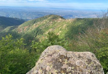
63 km | 113 km-effort


Gebruiker


Gratisgps-wandelapplicatie
 SityTrail
IGN / Geografische instituten
SityTrail World
De wereld gaat voor u open
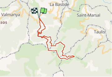
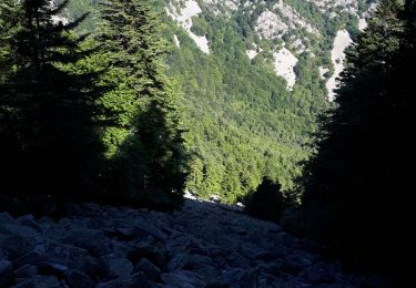
Tocht Stappen van 17 km beschikbaar op Occitanië, Pyrénées-Orientales, La Bastide. Deze tocht wordt voorgesteld door Santblasi.
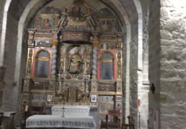
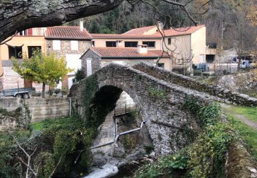
aller, suivre GRP Ronde du Canigou.
Retour, suivre ancienne voie.
zone miniére, tunnels, trémies, restes de vestiges. Les Menerots.
Te voet

Stappen
Stappen

sport
Stappen
Stappen
Stappen
Stappen
Stappen