


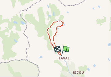


10 km | 18 km-effort

Gebruiker


Gratisgps-wandelapplicatie
 SityTrail
IGN / Geografische instituten
SityTrail World
De wereld gaat voor u open
Tocht Stappen van 9,3 km beschikbaar op Provence-Alpes-Côte d'Azur, Hautes-Alpes, Névache. Deze tocht wordt voorgesteld door RayFab.
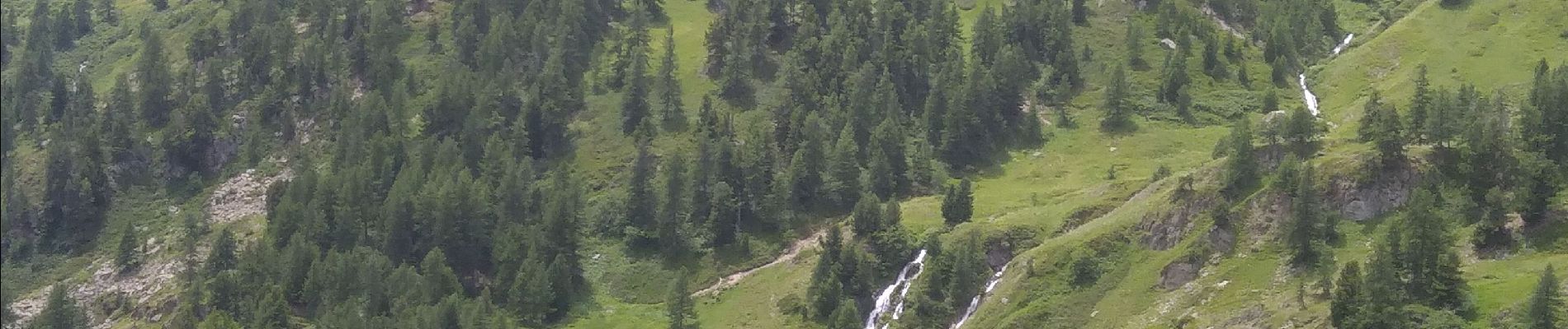
Belle randonnée fleuri où nous avons observé de nombreuses marmottes . La descente depuis le lac long est moins intéressante et caillouteuse mais très facile.


29 fotos in totaal. Klik op een foto om ze allemaal in de galerij weer te geven.

Stappen

Stappen

Stappen

Stappen

Stappen

Stappen

Stappen

Via ferrata

Stappen