


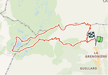

18,4 km | 36 km-effort


Gebruiker


Gratisgps-wandelapplicatie
 SityTrail
IGN / Geografische instituten
SityTrail World
De wereld gaat voor u open
Tocht Stappen van 12,9 km beschikbaar op Auvergne-Rhône-Alpes, Isère, Ornon. Deze tocht wordt voorgesteld door rapako.
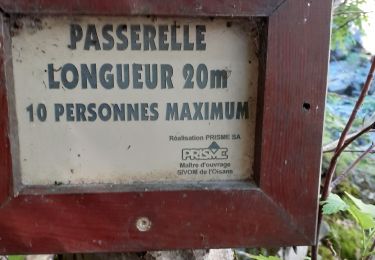
Penser à se garer sur la parking au dessus de la Grenonière pour éviter d'envahir ce paisible hameau.
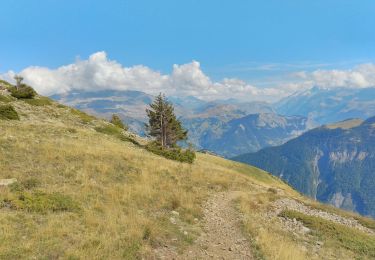
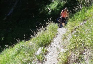
Montée par la Basse Montagne pour profiter au maximum de l'ombre de la forêt.
Montée raide (600m de dénivelé en 4km en gros) puis balade sympathique en petites montées-descente sur les 2 plateaux des lacs.
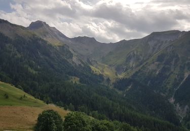
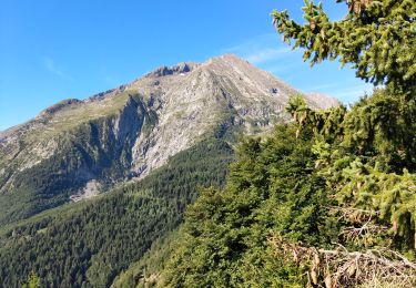
A la descente après le Refuge du Taillefer, vers la Buffe, la vue est splendide sur Belledonne, les Grandes Rousses la Meije et les Ecrins...

Stappen
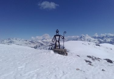
Ski randonnée

Ski randonnée
Stappen
Stappen
Stappen
Stappen
Stappen
Stappen