


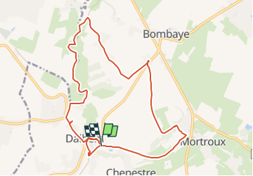

10,9 km | 12,6 km-effort


Gebruiker


Gratisgps-wandelapplicatie
 SityTrail
IGN / Geografische instituten
SityTrail World
De wereld gaat voor u open
Tocht Stappen van 9,7 km beschikbaar op Wallonië, Luik, Dalhem. Deze tocht wordt voorgesteld door henrineupre.
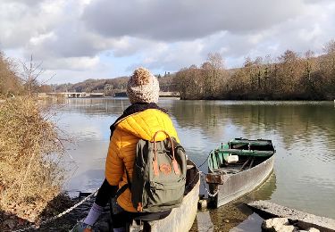
Balade au cœur de La cité millénaire de Dalhem, sa vieille ville, ses sentiers bucoliques le long de la Berwinne et ses sentiers de campagne.

Stappen

Stappen

Stappen

Stappen

Stappen

Stappen

Stappen
Stappen

Stappen